Trip Report
Volunteer Leader: Mark Hougardy | Group: Eugene-based Hiking Club | Date: March 13, 2015 | Participants: 15 | Hiking: 2 Miles | Type: Day Hike
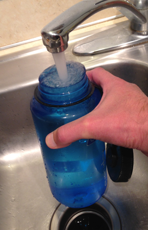
We have all turned on the kitchen tap and filled up a bottle in preparation for a hike, but have you ever wondered what was in your bottle? Think about it – we all live downstream from somebody.
How does river water become the tap water we drink and how is wastewater made safe for wildlife and others downstream? To learn more, I organized a trip with a local hiking club to visit the local water intake and the wastewater facilities.
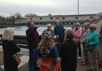
Our first visit was to the Hayden Bridge Water Filtration Plant, located adjacent to the McKenzie River, in Springfield. The facility is no small operation; it serves the needs of 200,000 people on a daily basis by removing water directly from the river, treating it, and finally delivering it to our taps.
Here are some observations from the visit:
- The facility is very high-tech and water quality is measured at all stages of the process both by computer and by a human with hourly lab checks.
- Security is paramount; the plant is gated with a security fence/gate, cameras are everywhere.
- Our local water system has about two days of water reserves if there is a calamity.
- On the day we visited the facility had processed and was sending out 16 million gallons (24 Olympic sized swimming pools) of water to the surrounding community.
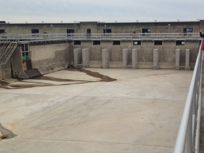
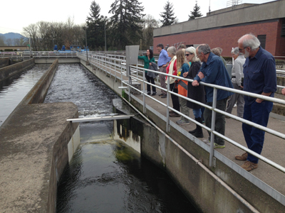
Next, we traveled to the Eugene/Springfield Water Pollution Control Facility in Eugene. This is where all of the waste materials that go down the drain/flushed from our households and businesses in the greater Eugene metropolitan area (a quarter of a million people) are processed. The plant is located adjacent to the Willamette River. Our hour and a half visit was very informative:
- More than 99% of what arrives at the facility is water; less than 1% are solid materials that need to be either removed or turned into bio-solids.
- Most of the odoriferous gases are collected and used to power a generator that supplies 50-60% of the energy needs of the facility.
- Waste materials can take up to 10 hours, once they leave your home until it reaches the wastewater facility; then wastewater can take another 10 hours to be processed. In short, waste materials take less than 24 hours until that water is returned to the river.
- The amount of water being cleaned and being returned to the Willamette River that day was about 15 million gallons (roughly 23 Olympic swimming pools).
- During the summer, the plant can process up to 70 million gallons per day (106 Olympic swimming pools) of wastewater!
I was fascinated to learn that on the Willamette River in Oregon there are about 25 wastewater treatment stations, and that does not include communities on the tributaries that flow into the Willamette! Just think about that…for every wastewater plant, there is likely a water intake facility that supplies drinking water for the next community downstream. If you live downstream you really want to know that the people upstream are taking care of your water – the water you drink, use for bathing, and for recreation.
If you’re curious about the water that goes into your water bottle start asking questions. Most water intake and wastewater plants are happy to host tours for small groups. Let them know you are interested in visiting.

What about when the water is returned to the Willamette River? Find out more, read my post, Rafting the Upper Willamette River with the McKenzie River Trust; the majority of the photos were taken only a few miles downstream from Eugene’s wastewater treatment facility.

 In the spring and summer of 2014, I enjoyed volunteering with the Nature Conservancy of Oregon (Southwest office). My role was to help grow participation in the local volunteering community. My services included upgrading their email management tool (to Constant Contact) and designing several newsletters.
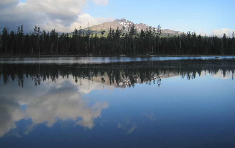 A glorious view from Diamond View Lake. The clouds at the left of the image produced some amazing lightning and thunder that afternoon.
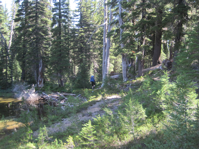 The trail got a little hard to follow at one point and we had to bushwhack.
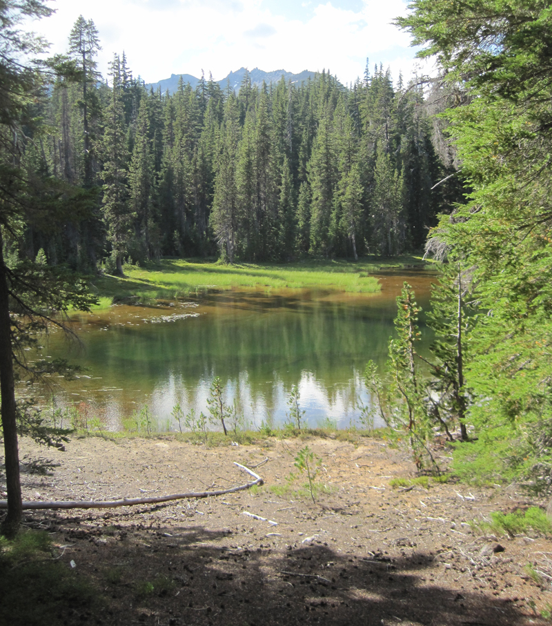 A little lake where we stopped for a rest, only to stay for the night. Water was scarce in the area and the lake provided a great location for watching wildlife and hearing even more wildlife during the nighttime.
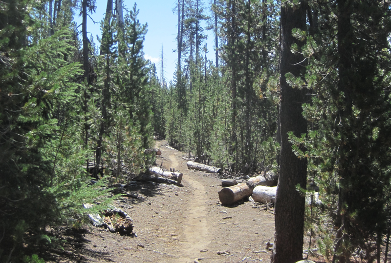 A very dusty path. This trail was well worn because of the number of PCT hikers that we met, many had been side-tracked to a lower elevation because of the lack of water on the main PCT.
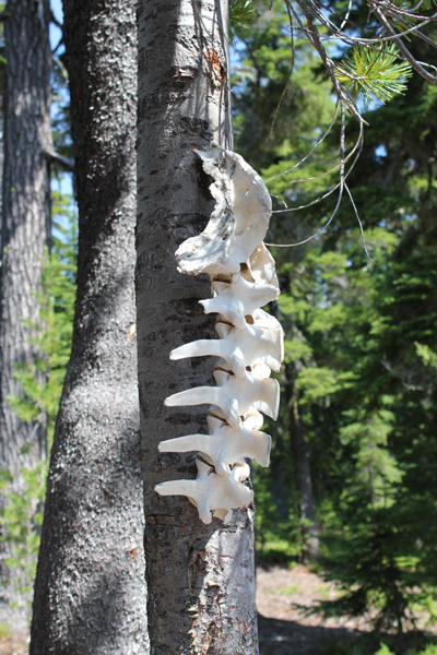 Wow! You find lots of cool things on the trail.
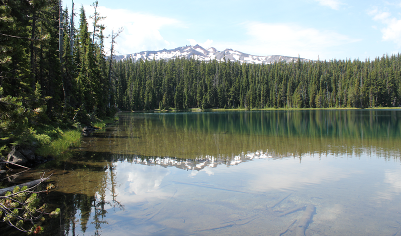 Standing at the outflow of Yoran Lake looking south to Diamond Peak. After a break, we bushwhacked about half a mile to the PCT to loopback.
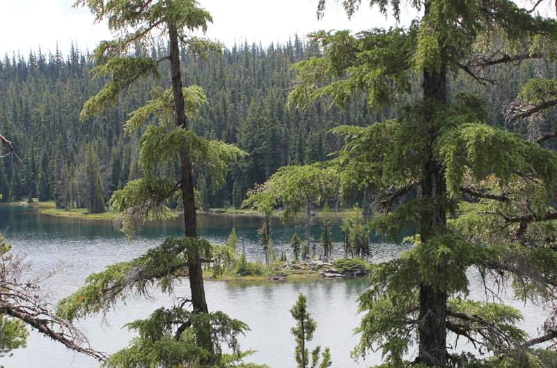 A small island on Yoran Lake.
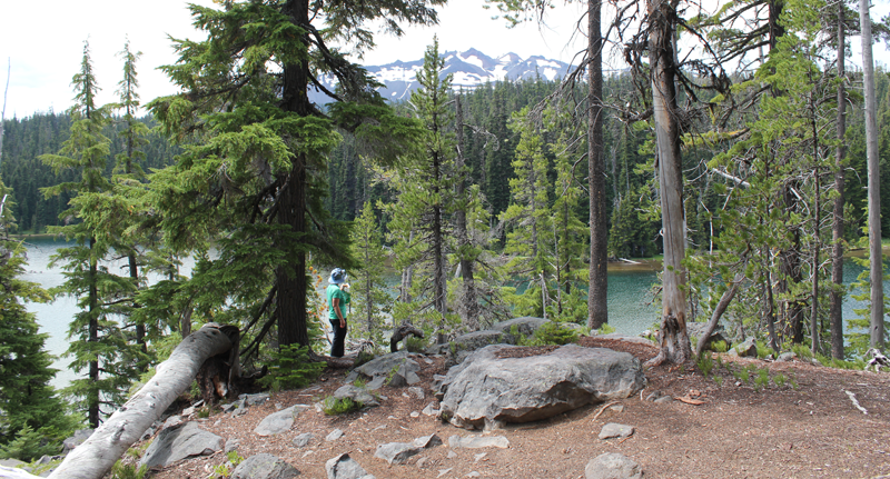 Enjoying some lunch while scouting out a great campsite.


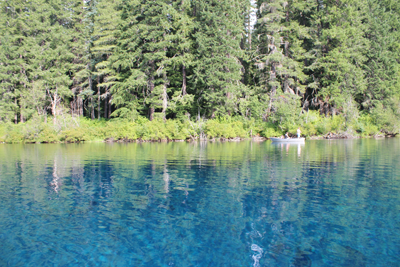 Each stroke of my paddle dips into the crystalline fluid and scoops out rounded orbs of glass-like liquid, I dip my hand into the water, the temperature is cold, somewhere around 40 degrees Fahrenheit. The lake is fed by mountain springs that course from deep within old lava flows; the water temperature stays a near constant throughout the year.
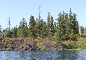 A number of Mallard ducks float next to my kayak, some are just a few feet away. One comes abreast to me and looks at me in the eye; he cocks his head as though wondering what kind of strange beast I might be. I can see his little legs moving underneath the water, churning like a miniature paddle wheel.
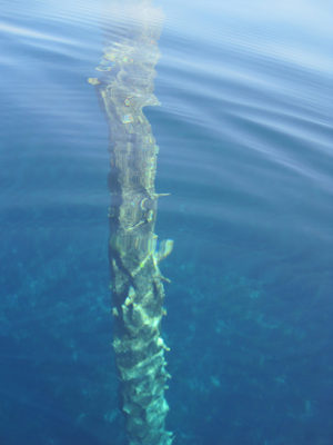 A large dark form starts to become visible in the water before my kayak. I stop paddling and the surface becomes undisturbed allowing the shape to come into focus, it is the column-like shape of one of the ancient trees. The trunk appears to be as big around as a dinner platter, and only just a couple of feet below my kayak. I try to gently tap the top of the trunk with my paddle, but I am unable to reach it. The water has played a trick on my eyes by making things appear closer than they really are. I peer down the trunk looking, fifty, sixty, possibly a hundred feet down to the bottom.