Hiking and Kayaking on Oregon’s Scenic and Wild Central Coast

The Cape Perpetua Scenic Area on Oregon’s coast is stunning.

Trip Report:
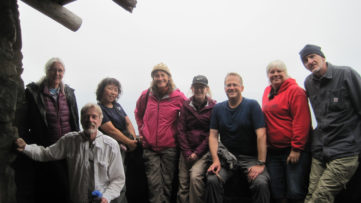
Volunteer Leader: Mark Hougardy | Organization: Eugene-based Hiking Club | Date: August 2018 | Duration: 2 days | Participants: 8 | Type: car camping, hiking, and kayaking
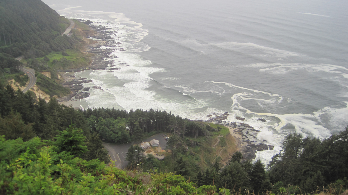
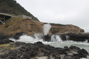
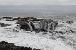
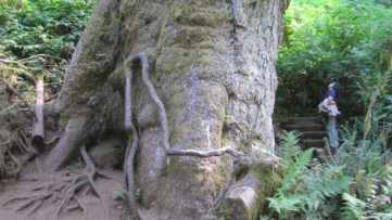
Our group was fortunate as the weather was surprisingly mild and there was little wind. We spent much of the morning exploring tide pools and beachcombing during low tide. The Cape’s forest offered us the chance to stand at the base of the 200-foot tall and 500-year old Sitka Spruce. These amazing trees grow in a four-mile-wide zone along the coast from northern California to Kodiak Island in Alaska. Around lunchtime, we pitched our tents at a nearby campground and had a quick bite to eat. Our two tiny campsites proved challenging with our collection of tents. In the late afternoon, during high tide, we appreciated the coast’s craggy beauty. A favorite is Spouting Horn, where wave action forces water into a small sea cave and through a hole at the top creating a sizeable plume. Thor’s Well, a large sinkhole on the shoreline, water cascades into what appears to be an unearthly entrance to the underworld. In the evening, some of us climbed the 700-foot cape and enjoyed awe-inspiring views of the rocky shoreline below. Standing inside the historic Civilian Conservation Corps shelter, we witnessed a brief sunset. That day we saw a whale, gulls, cormorants, sea lions, a myriad of tide pool creatures, turkey vultures, and ravens.
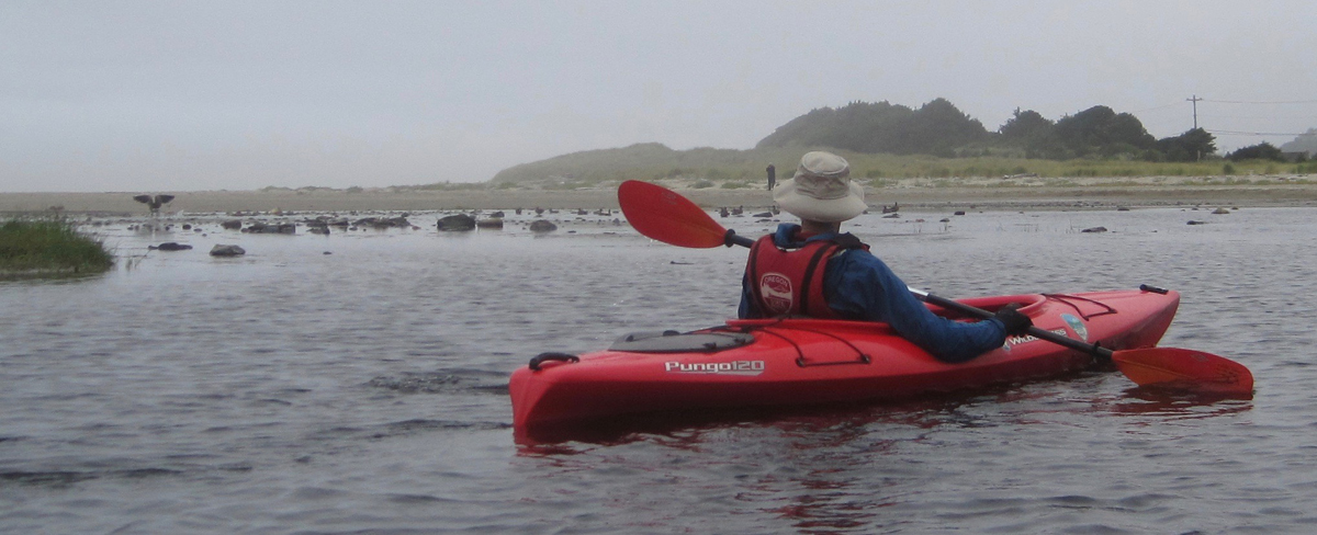
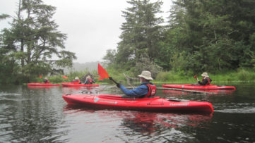
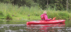
We woke with the sun and drove to Brian Booth State Park where we participated in a kayaking trip along Beaver Creek. This interpretive tour is offered as a service by Oregon State Parks. Beaver Creek is a freshwater estuary and is prime habitat for Coho salmon, cutthroat trout, winter steelhead, and waterfowl. We finished our three-mile paddle about noon and had a great time. We had seen ducks, nutria (invasive), a family of river otters, kingfishers, a young bald eagle, swallow, cranes, blue herons, a green heron, Canada geese, merganser, and a red-tailed hawk. As we pulled our kayaks from the water there was a nearby splash, a river otter had been playfully observing at us. Across the creek, a bald eagle surveyed our group. That afternoon we drove south to Yachats and enjoyed a tasty lunch before heading home.
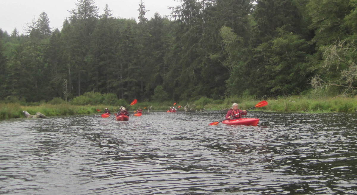
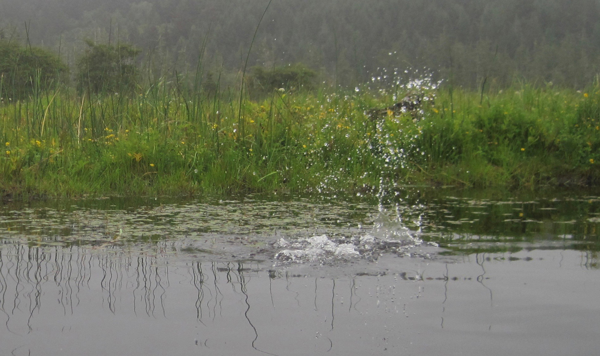
I snapped this picture half a second too late! A chain of bubbles was rapidly passing my kayak on Beaver Creek. They were followed by a furry head popping out of the water. The river otter, upon seeing me, immediately dove. Here is the splash it made as it disappeared.

Hiking the Lookout Creek Old-Growth Trail

Walking in a forest with 500-year-old trees is always a delight. Finding such places – a rare treasure. Fortunately, the Lookout Creek Old-Growth Trail is such a gem, and for the price of a moderate drive from Eugene, Oregon, hikers can enjoy this richness.

The trail is located within the Willamette National Forest, more specifically the research area is known as the H.J. Andrews Experimental Forest. The experimental forest exists so scientists can conduct long-term studies of the Pacific Northwest’s complex forest and stream ecosystems.

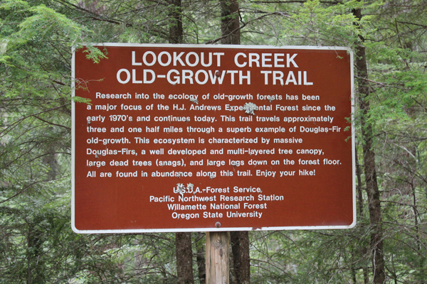
A trail brochure states the Lookout Creek Old-Growth Trail is 2.6 miles long, though a sign at the upper trailhead states the trail is approximately 3.5 miles in length – both of these are incorrect. I believe Bill Sullivan’s book, “100 Hikes in Central Oregon Cascades” that states the trail was 6.3 miles with a 1400 elevation gain. Expect the hike (one-way uphill) to take 3 hours with breaks; the return hike down the service road to the lower trailhead adds 1 more hour, so plan for a minimum 4 hours to complete the round trip.

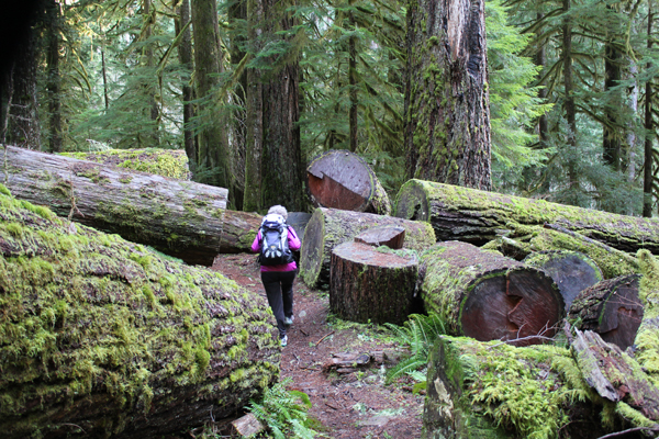
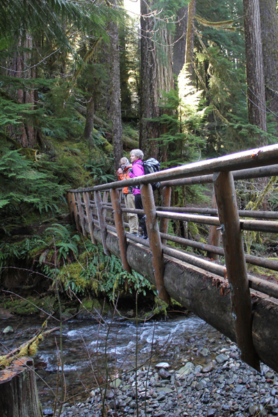
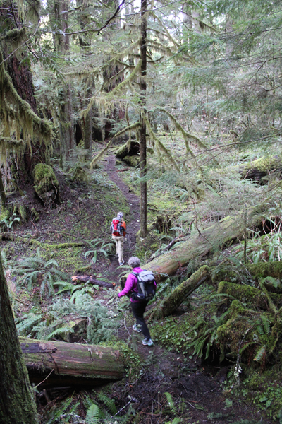
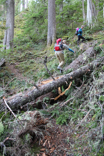
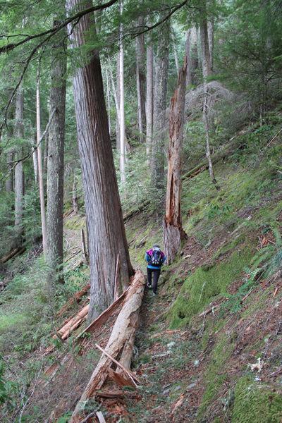
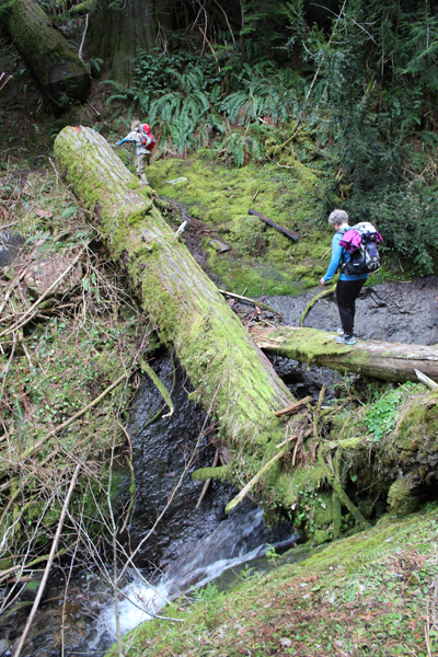
The route is rugged with steep inclines, downed trees, log scampers and a couple of creek jumps that are not shown on the map. The beginning and end of the trail provide footbridges for crossing Lookout Creek, the remaining trail is in the deep forest with lots of big and really old trees.

Help the forest; always bring a trash bag. My family did not find any trash on the trail, but on the service road, we found spent shotgun shells, beer cans, soda cans, and other trash.

The nearest populated area is the town of Blue River. Driving to the trail takes about an hour-and-a-half from Eugene. The last seven miles of driving will be on packed dirt roads.

These pictures were taken in late January. This entire area should be covered in snow, but an unusually warm winter with temperatures in the mid-forties offered the chance to see the majesty of old-growth forest at an usual time of year.

IMG_2496
This photo gives an idea of how large these trees can become.
IMG_2500
The bridge crossing at Lookout Creek, near the lower trailhead.
IMG_2502
A lush landscape.
IMG_2505
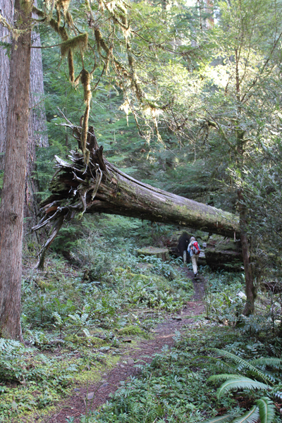
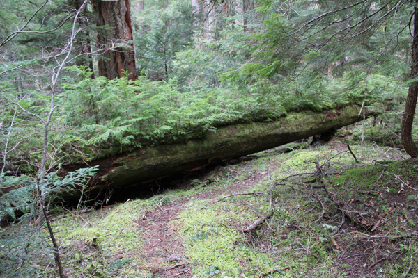
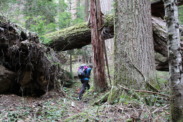
The trail meanders beneath a fallen giant.
IMG_2515
One of several fallen trees across the trail.
IMG_2520
What stories could this tree tell?
IMG_2525
Scrambling across a creek.
IMG_2529
One of many “nurse logs” seen on the trail.
IMG_2532
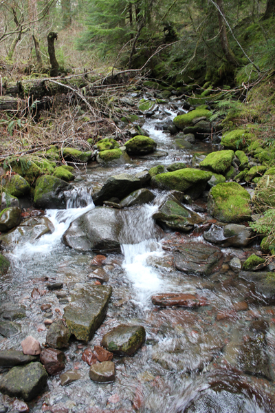
A view of Lookout Creek, near the upper trailhead.
IMG_2536
An area where one ancient tree fell and caused a cascade of destruction. While terrible, this ending allows new life to thrive.
IMG_2538
By my rough calculations, the trail is actually about 4.5 – 5 miles in length (one-way).