Crater Lake National Park never ceases to amaze the viewer, but this time the lake astounded me and my Road Scholar participants with some mysterious rings seen upon the lake’s surface.
These unusual rings were viewed near Wizard Island from Watchman Peak and were observed on August 29, 2019, between 9:20 am & 9:40 am (approximately).
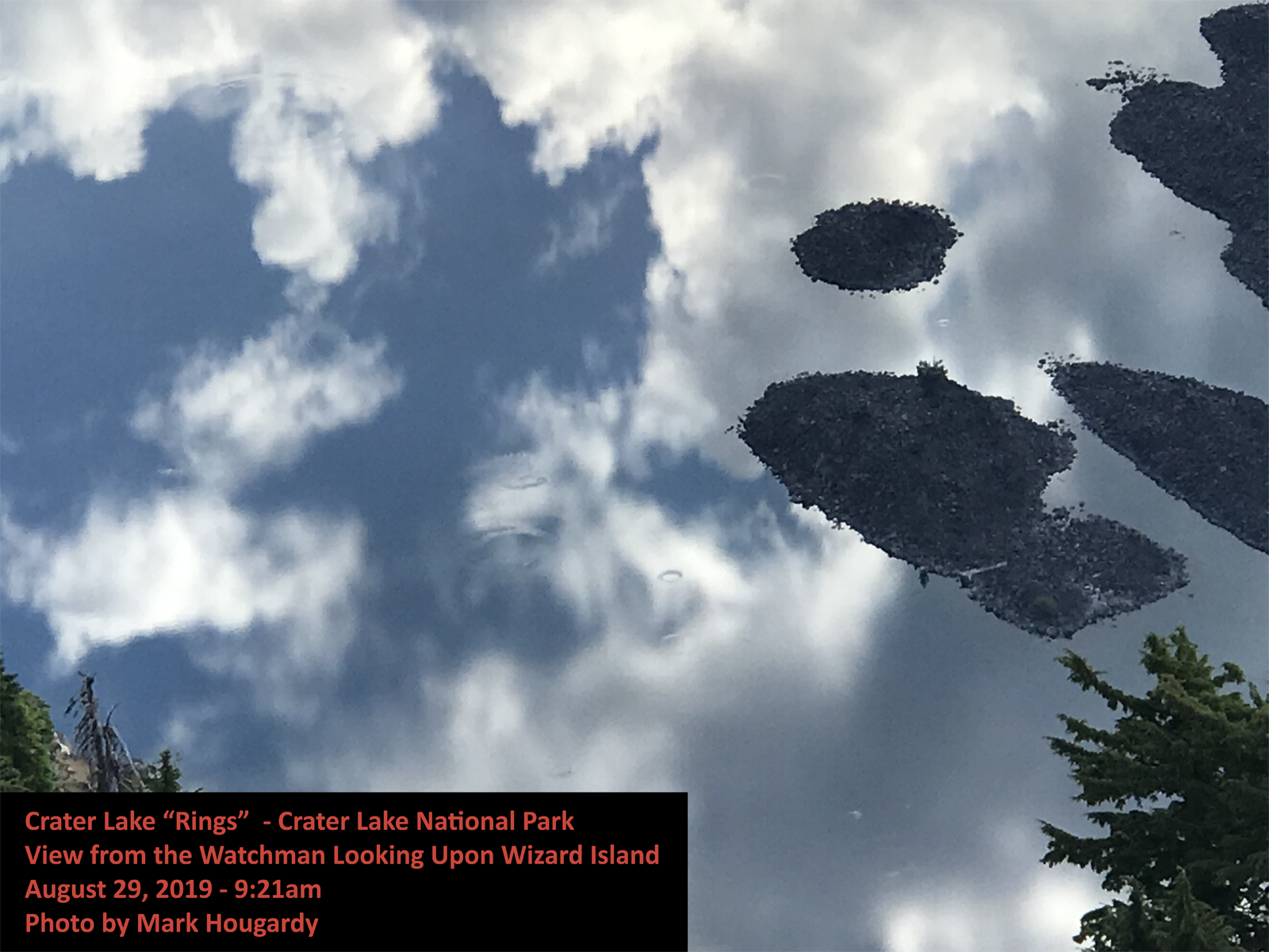
That morning, my educational tour group had hiked to the summit of Watchmen Peak. We were treated to an expansive vista over an exceptionally peaceful Crater Lake. The gigantic body of water mirrored the sky as there was no wind, nor any waves caused by the island excursion boats. What we did see upon this flat liquid pallet were multiple “rings.” At first, the rings appeared to be raindrops to the west and southwest of Wizard Island (in the Skell Channel area), yet our perspective was 800 feet higher and three-quarters of a mile distant. These rings were sizable!
I had never observed such rings during multiple visits to the lake. Were these new? Had I not observed them before because of wind, light, or other surface conditions? -The mystery is afoot!
As my group arrived at the summit several of the participant’s phones reconnected with cell service. The group had been a couple of days without any service and a few people were eager to check email, news, etc. One person exclaimed that about an hour earlier (approx. 8 am Pacific) a 6.3 earthquake had struck off the Oregon coast. The question was raised, could a massive and distant energy release encountering a different density (energy waves traveling from rock then to liquid, especially upon a very still body of water) have allowed stored gases in a shallow area of the lake to escape, causing these rings?

It was intriguing, yet an earthquake some 200+ miles distant seemed remote. What there a more likely cause? The area in the Skell Channel area is relatively shallow (from 60 to 200 feet deep) compared to the rest of the lake, and has an abundance of underwater moss. The water at Crater Lake is known for its clarity and this massive biomass might have been bathing in a bounty of sunlight. The weather for several days prior had been mostly sunshine with only some rain that night…could these conditions have accelerated photosynthesis? What about springs in the area? Based on the ring images (especially the close-up image) this seems likely, but Crater Lake is essentially a closed system, its small watershed (the rim of the lake) means the lake receives all its incoming water from snow-melt and rain. There is supposedly some hydrothermal spring activity on the bottom of the lake, but this appears to be limited and at greater depths.
Was there a more likely explanation? I reached out to the Crater Lake Institute and the Oregon Master Naturalist program for help. I also included some photos of the curious phenomena, including one close-up, and several photos that were overlaid with Google Earth to help with identifying the location and determining the scale.
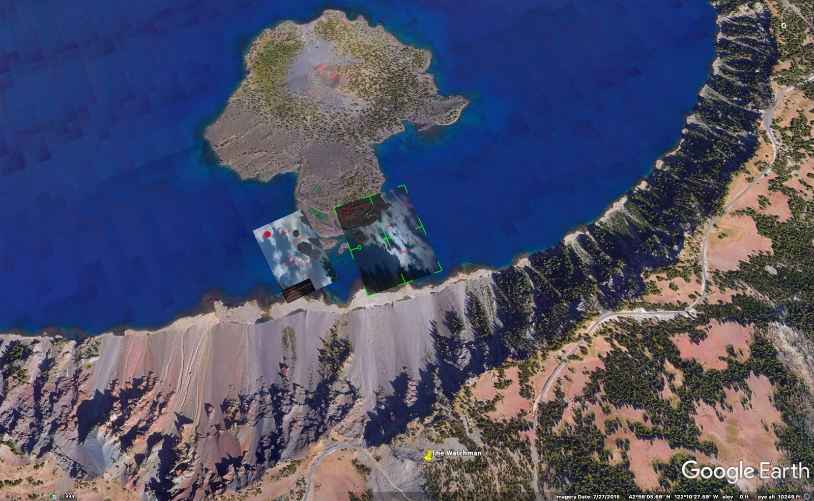
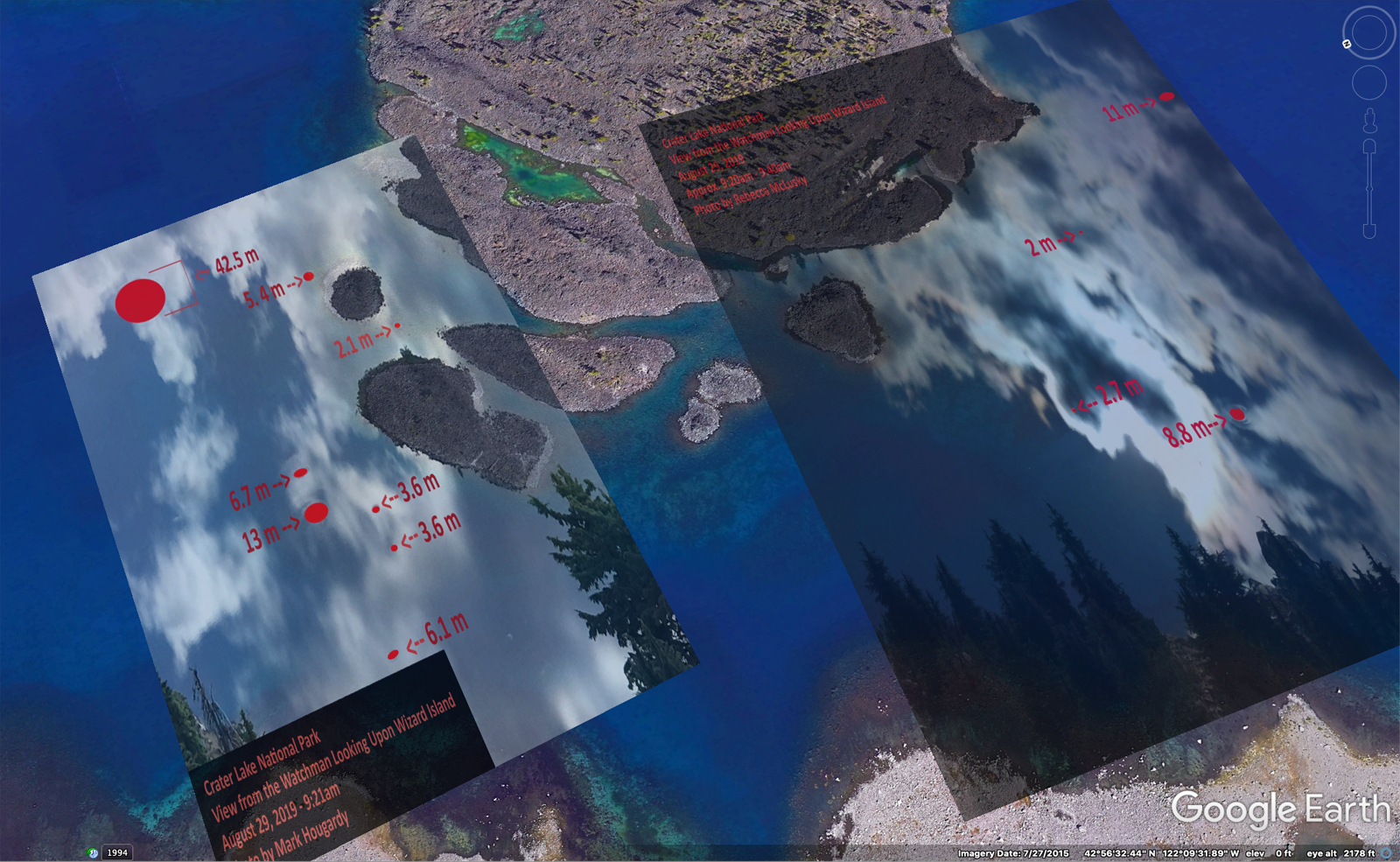
The diameter of some of the rings was massive:
2.1 meters
3.6 meters
5.4 meters
6.1 meters
6.7 meters
8.8 meters
11 meters
42.5 meters
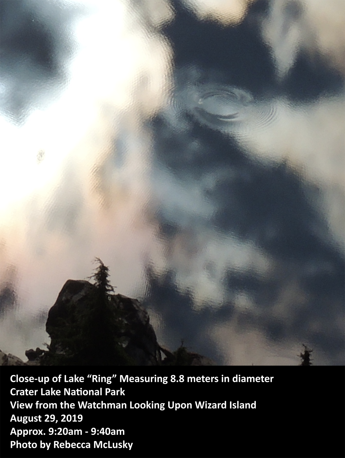
After a few emails were exchanged one cause of the rings’ formation was the most supported: “unusually strong photosynthetic activity by prominent beds of submerged plants, which occur in shallow waters around Wizard Island creating supersaturated oxygen levels, resulting in oxygen bubbles rising to the surface.” – Crater Lake Institute.
This sounds very plausible and I’m grateful for the feedback. I am curious if there is any research or photos showing this phenomenon in previous years. If anyone has any knowledge, please contact me. Seeing the rings was amazing and I hope to return on future clear summer days to gather some additional data.
Thank you to the Crater Lake Institute and the Oregon Master Naturalist program!

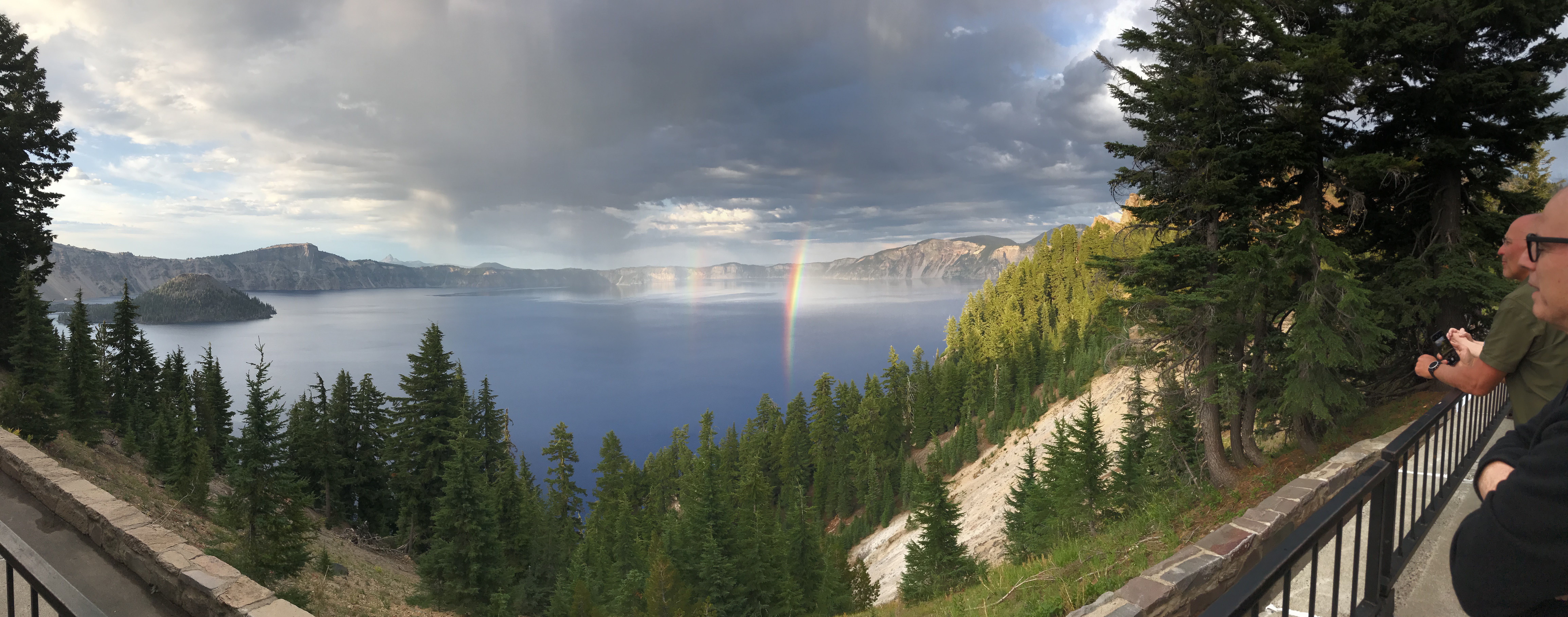
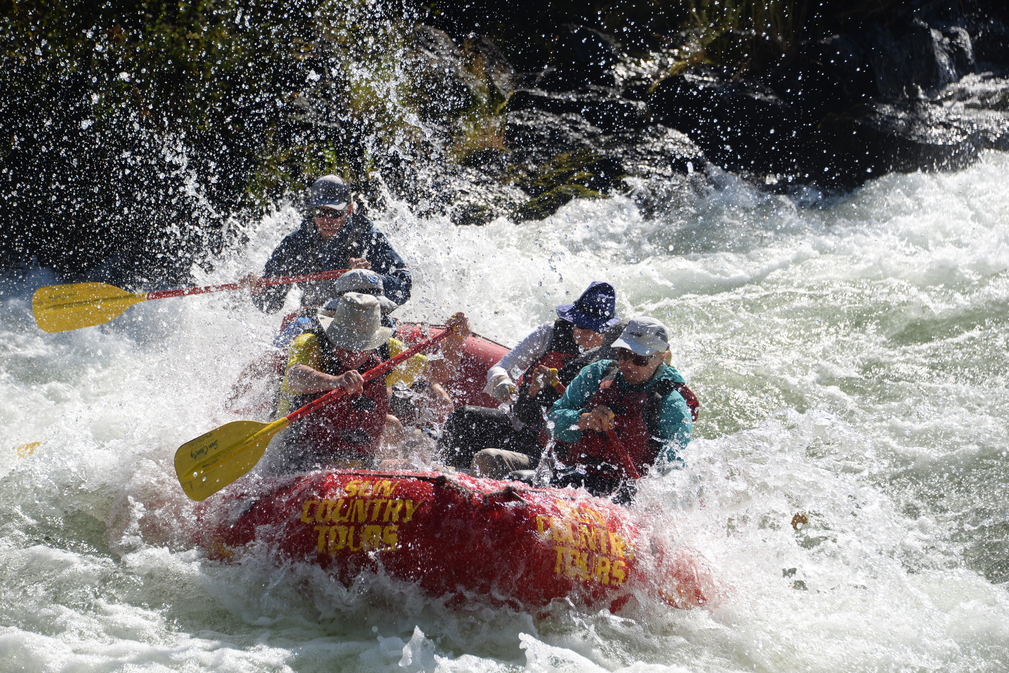
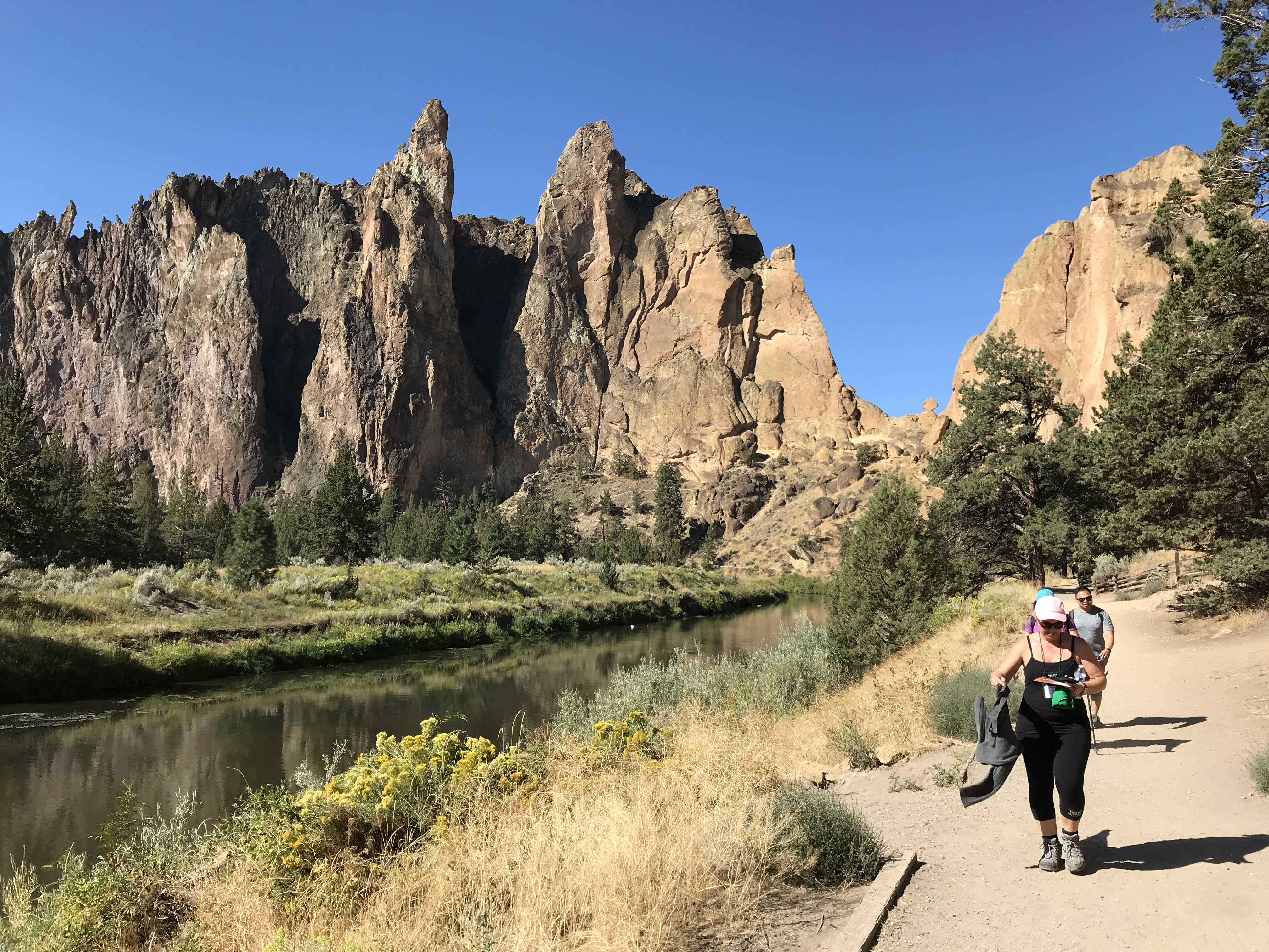
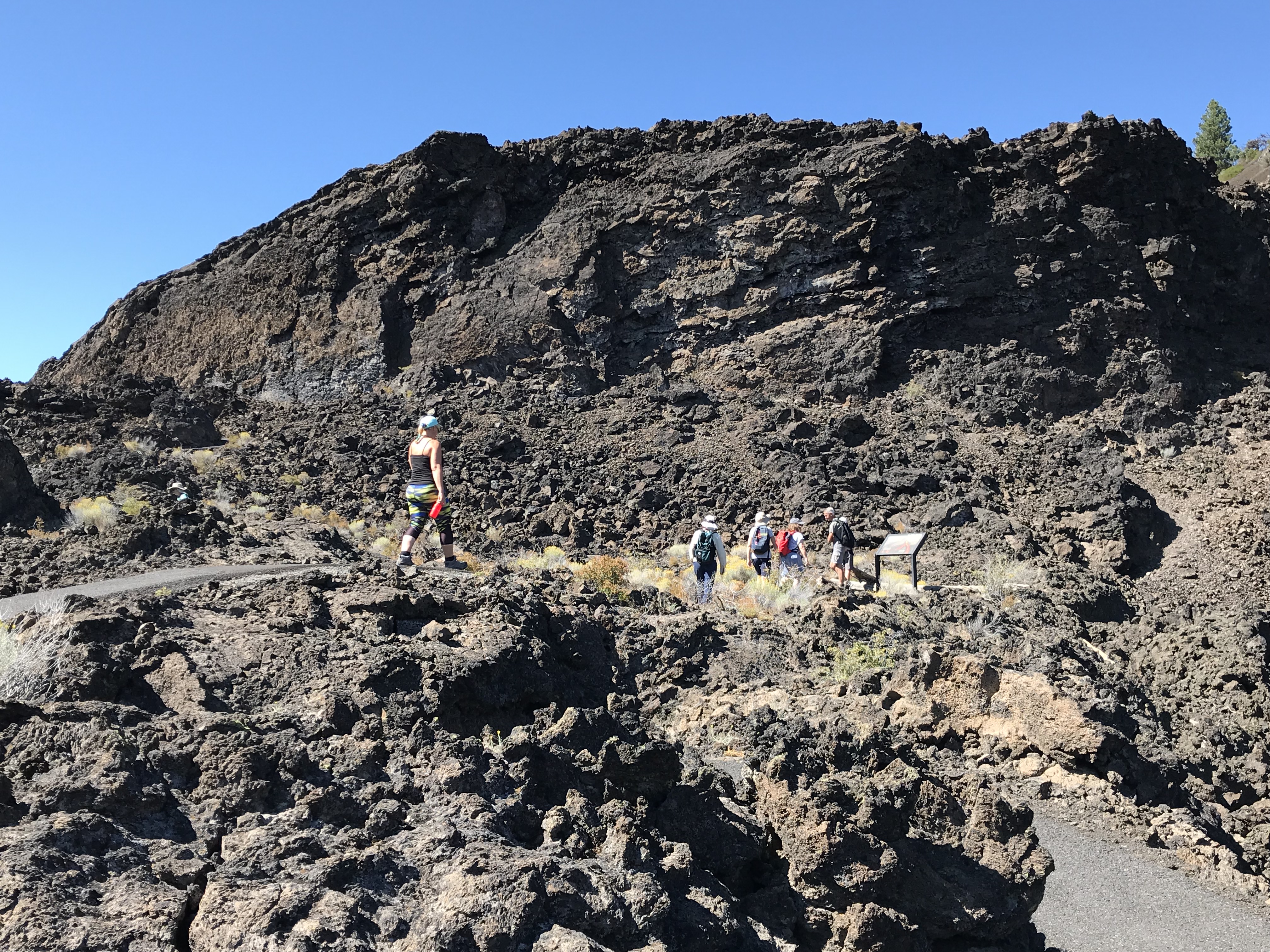
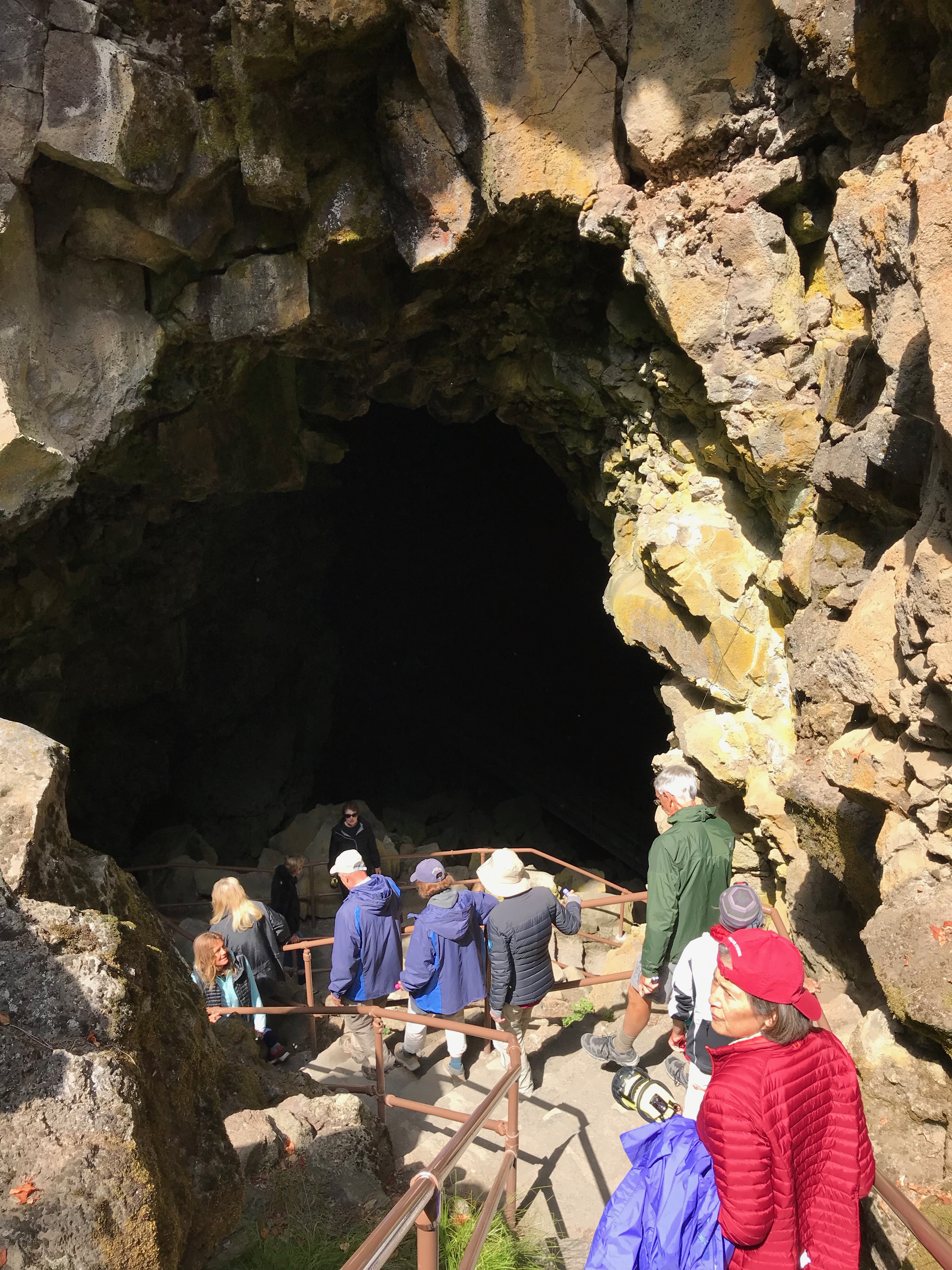
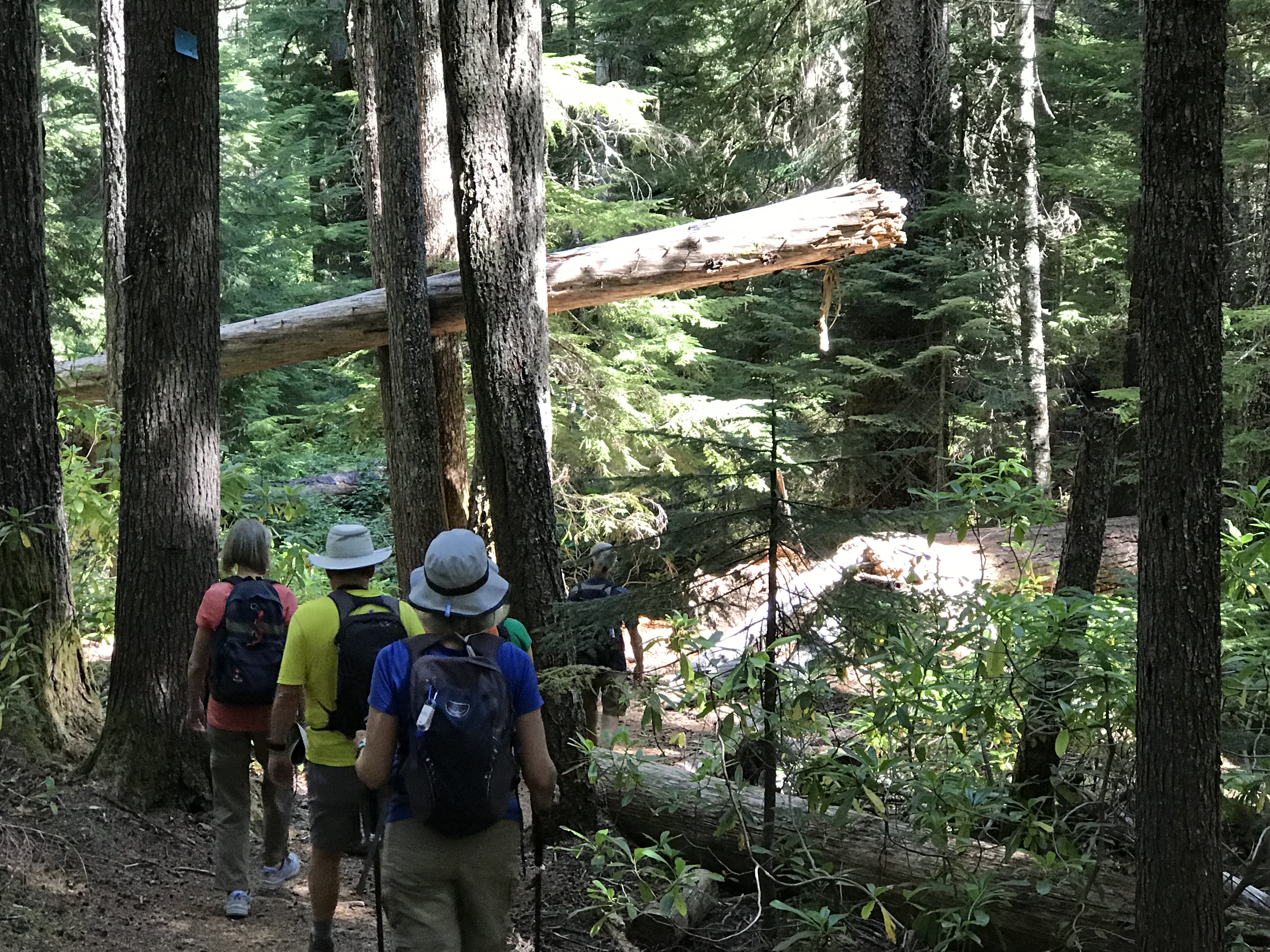
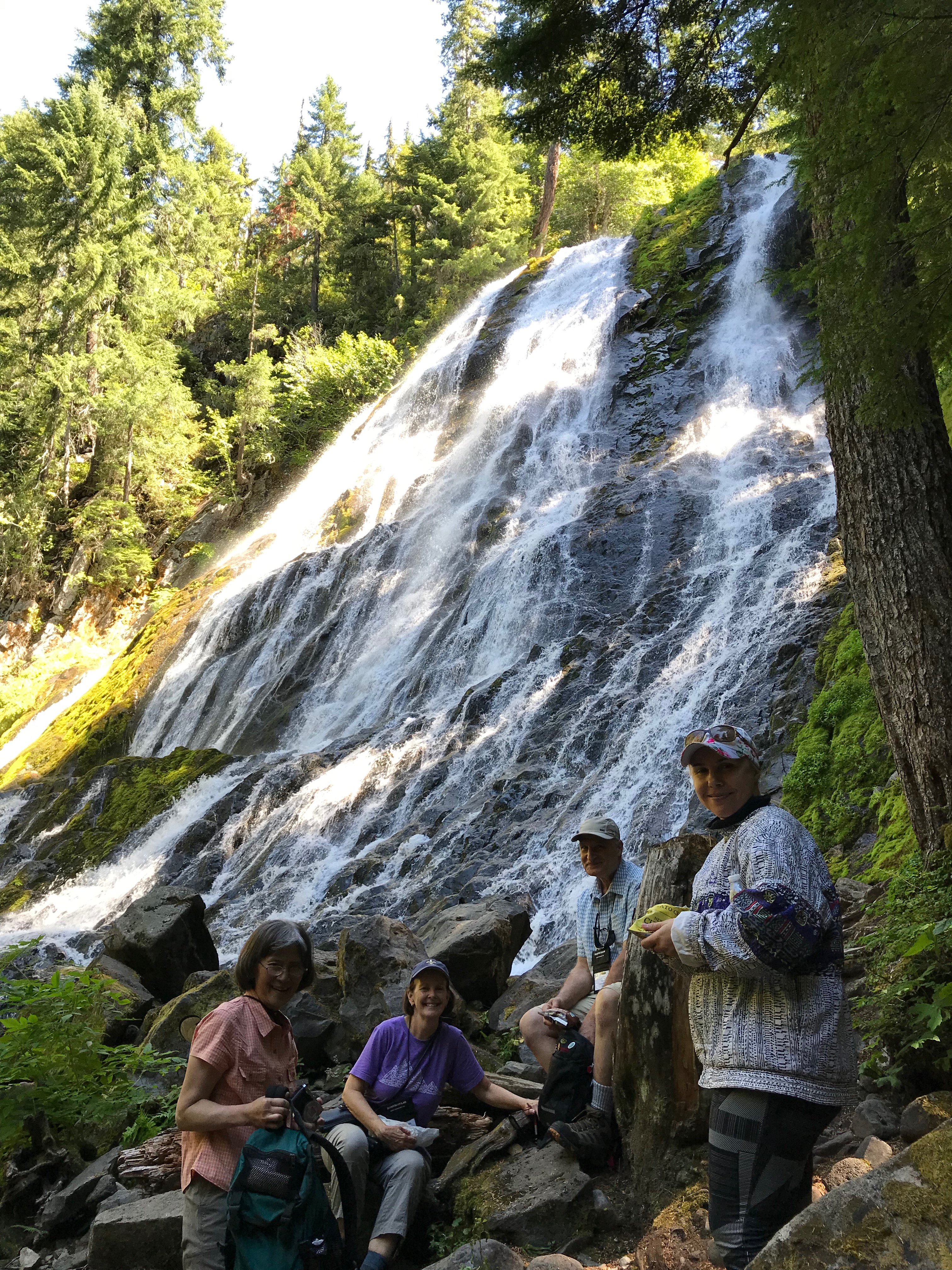

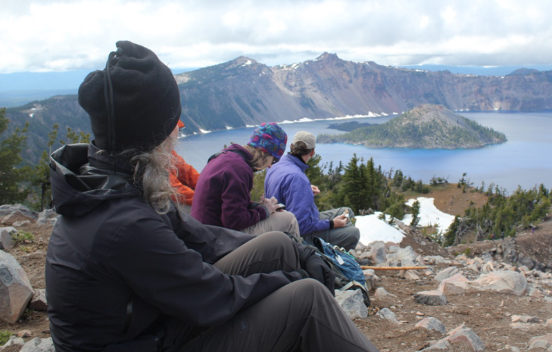
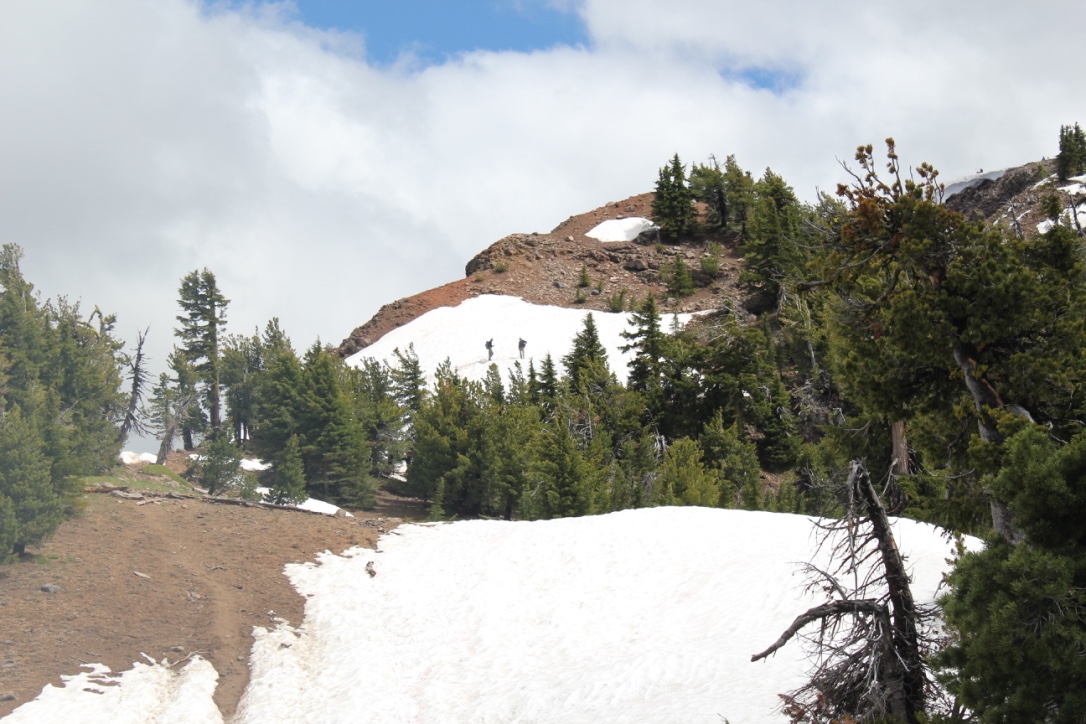 On the way, we encountered several snowfields, one of which was very steep, but the stunning views from the top were well worth the extra effort in getting there. In the distance, Mount Scott was enticingly clear of snow, though we later learned it was impossible to reach because several miles of the eastern rim highway was closed for repairs. Returning down the mountainside we visited the small loop trail of Godfrey Glen where we collected trash that uncaring visitors had left. We collected enough garbage to fill a large bag! That evening we sat around the campfire and commented on the number of stars that were visible, where was the rain? All was calm until 2 am when the rain arrived and temperatures lowered to just above freezing. Our two members in their “good deal†tent had a cold and wet night.
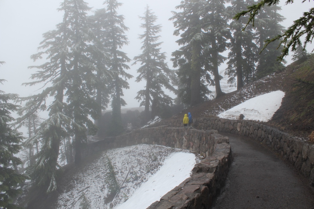 We explored the Visitor’s Center, the Sinnott Memorial Overlook (featuring an indoor exhibit room) and the gift shop to escape the fog, wind, rain, and occasional snow flurries. The fog was so thick we could not see the lake or a few hundred feet in front of us. In the afternoon we moved below the cloud line to hike the picturesque Annie Creek trail. Although a short hike, it was very picturesque. Laurie and Brad had reservations at the Crater Lake Lodge for dinner, they generously increased their table size to include all of us so we could get out of the rain and have some warm food. About 8 pm that evening the sky cleared and at first, the temperatures seemed warm. The group campfire that evening had just half of the group, the remainder had gone to bed early. The two members in the “good deal†tent had another cold and memorable night. In the middle of the night I awoke and was stunned by the visibility of the night sky – there were thousands of stars! My tent thermometer showed that temperatures had dropped into the upper twenties.
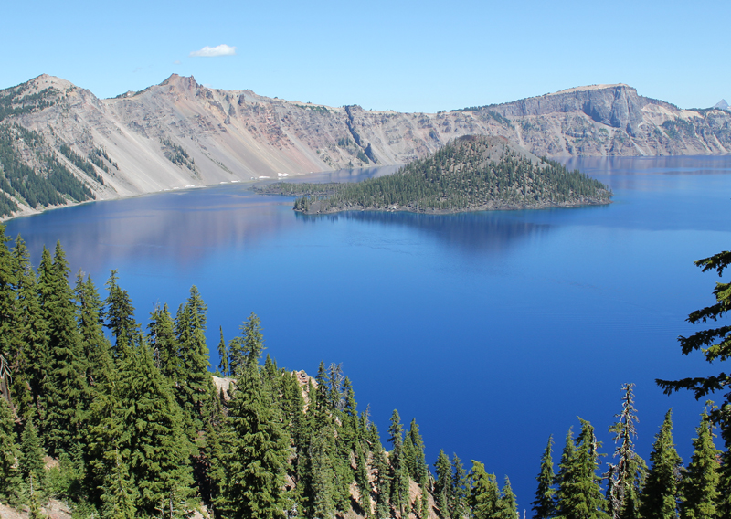
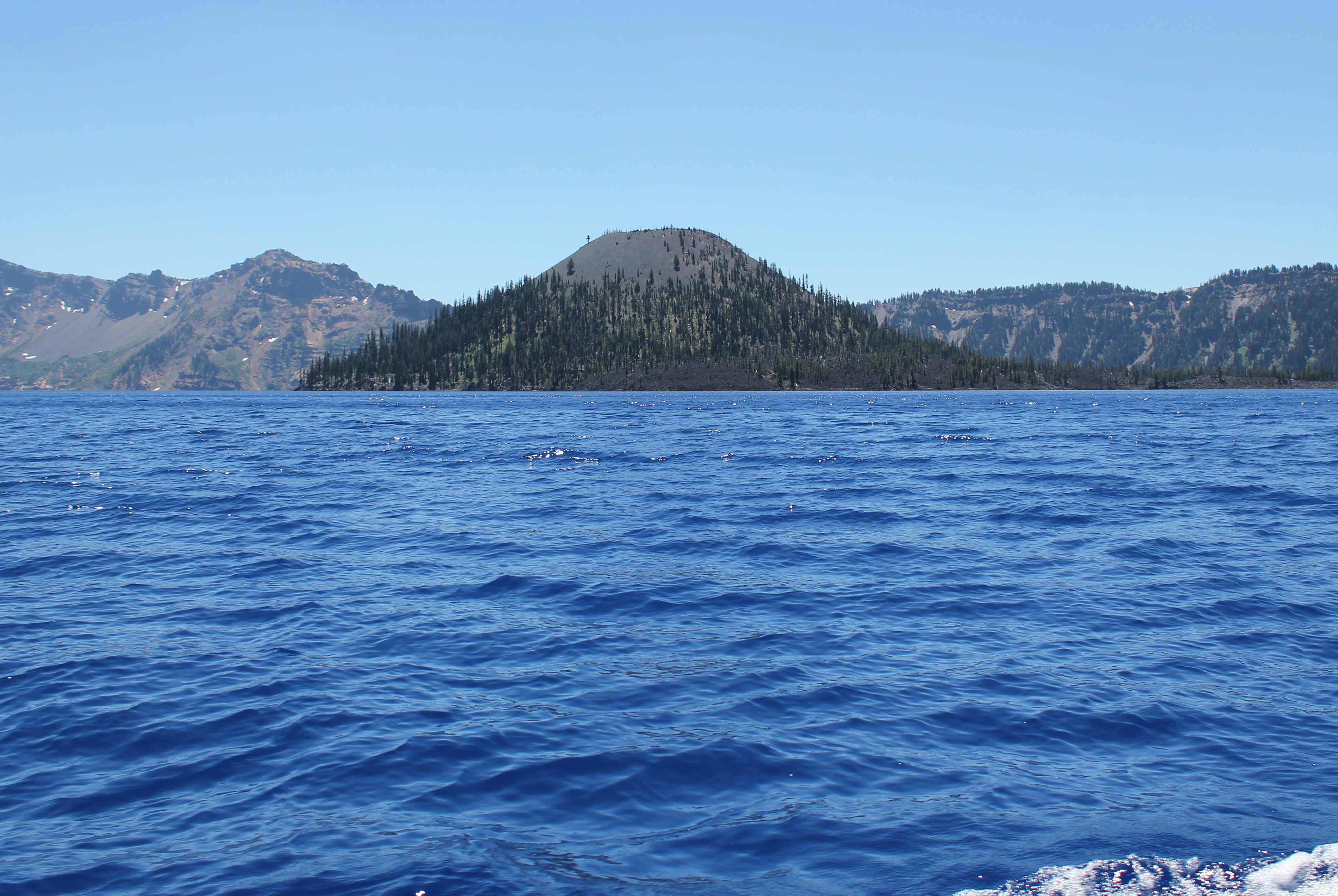 Approaching Wizard Island, even several miles away, is very impressive.
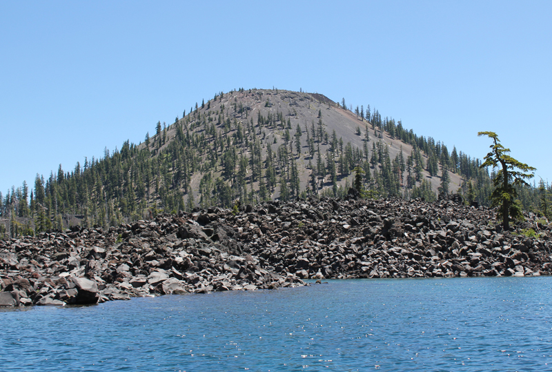 As the boat approaches Wizard Island the size and grandeur of this volcanic cone become apparent.
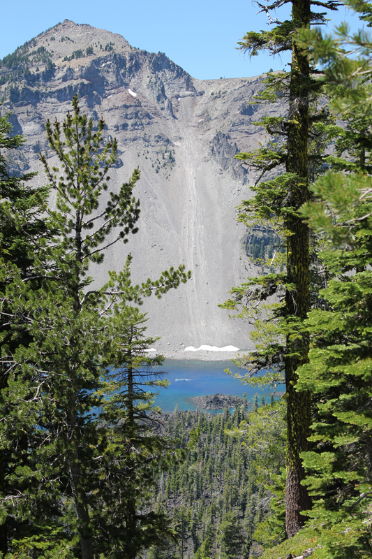 Hiking to the top of Wizard Island the trail climbs 760 feet, but this is nothing compared to the eastern rim of the crater which towers above me. In the photo, the Watchman scrapes the sky at 1840 feet above the lake’s surface. Seen between the trees, on the water (crossing Skell Channel) is a small white line, this is one of the boats that transport passengers to the island.
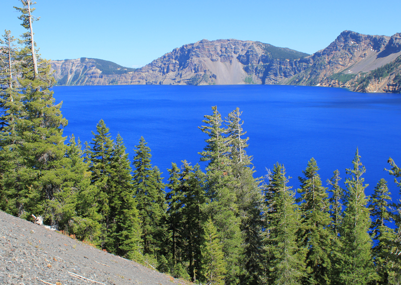 The views hiking to the top of Wizard Island are jaw-dropping.
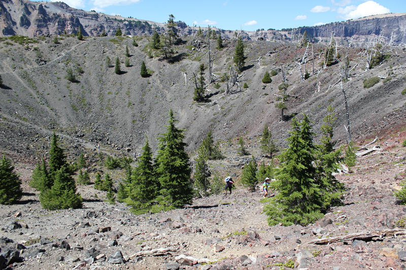 Think of Wizard Island as a small volcano, and it has a crater; this picture shows several people hiking out. The rim of Crater Lake looms on the horizon.
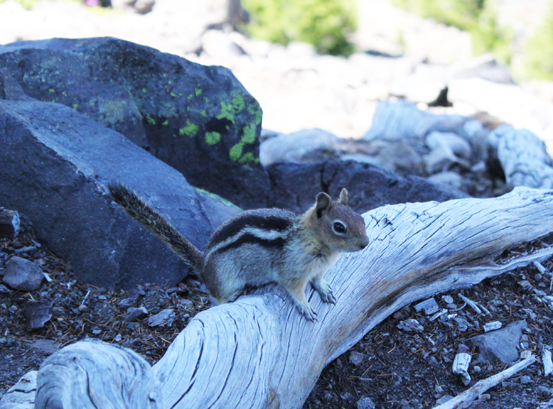 This Ground Squirrel is a resident of Wizard Island. He was demanding a food tithe from me for visiting his island retreat.
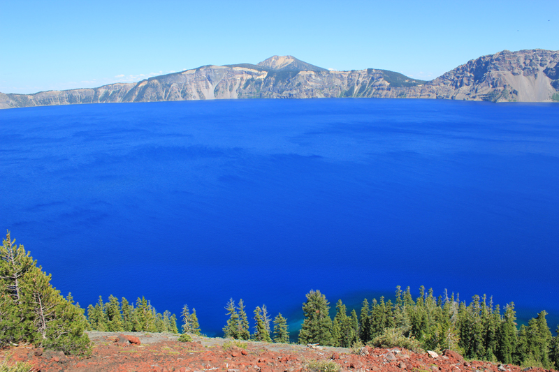 A view from atop Wizard Island looking across Crater Lake to the opposite rim which is about 5 miles away. The blue color is just magnificent.
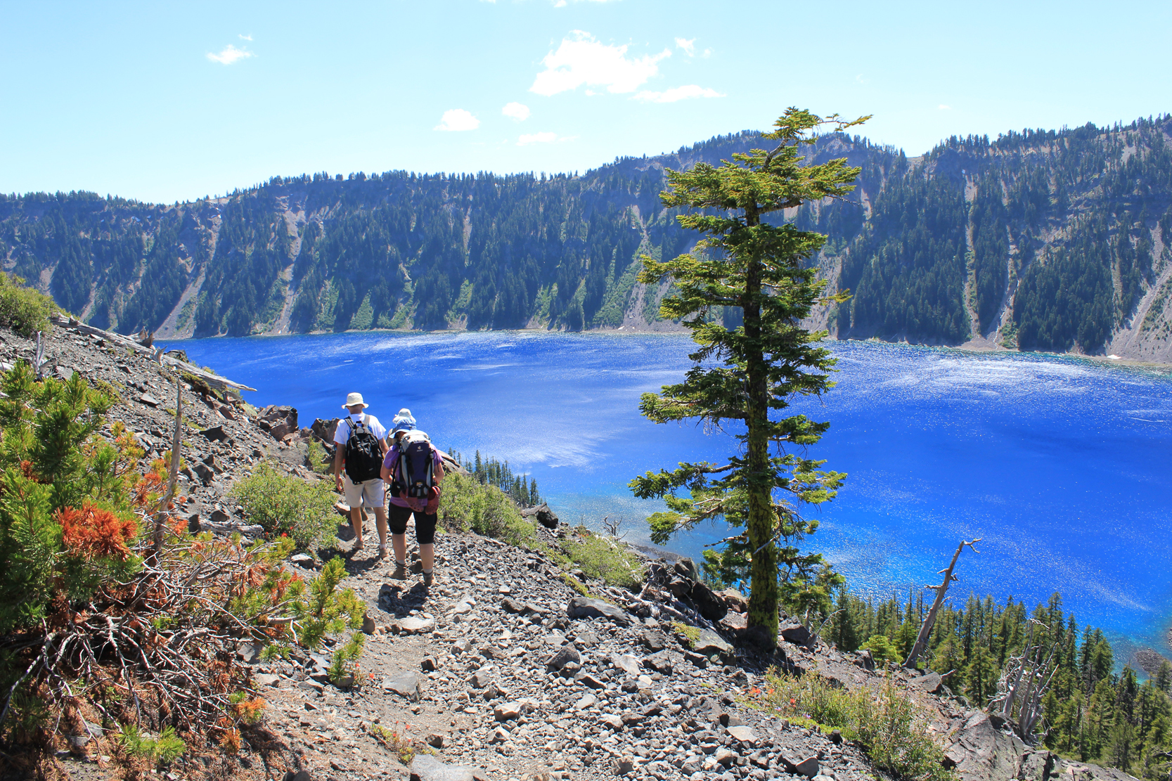 Hiking down the cinder cone we enjoy a rich tapestry of colors – a masterpiece painted by nature!
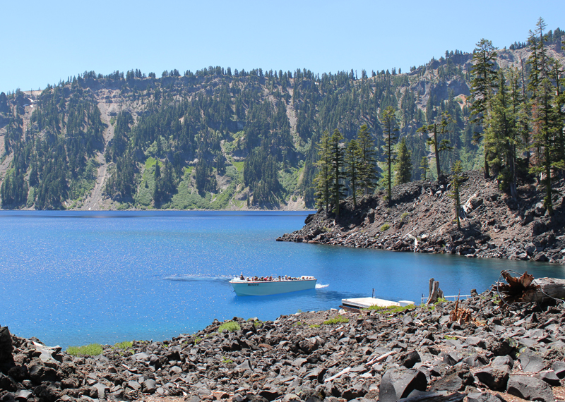 This is one of the few boats allowed on Crater Lake. It is seen here delivering visitors; this boat will take us on our return trip around the lake’s perimeter in a counterclockwise direction. Our next stop was the southern shore to see a slide area and the Phantom Ship.
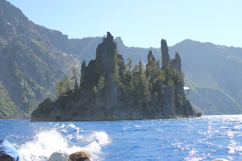 The spires of the Phantom Ship, an island in the lake, which under low-light conditions resembles a ghost ship.
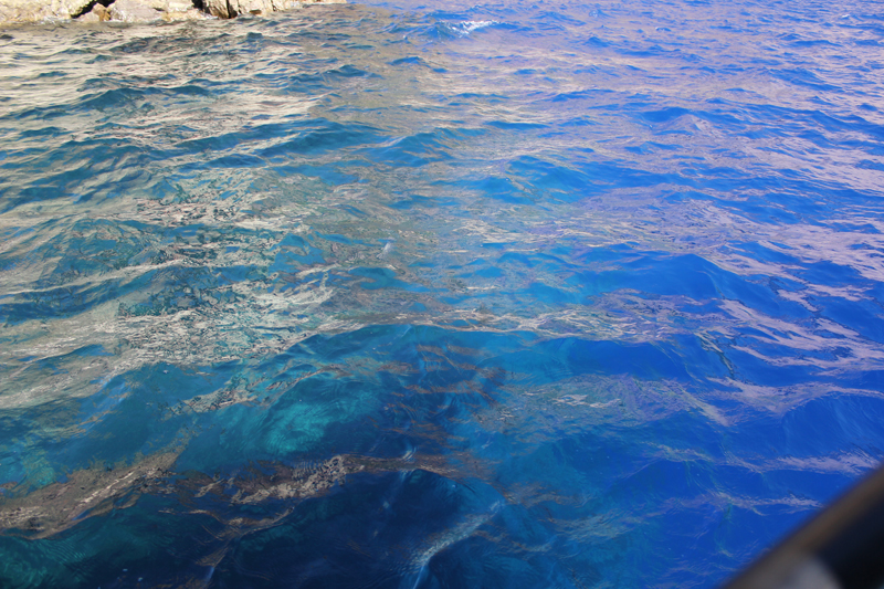 Looking into the water from the edge of the boat we saw this dramatic difference in color. The interpreter on the boat said the contrast was because we were passing over an underwater ledge, to the left the water depth was about 900 feet, to the right the depths plunged to 1,600 feet!
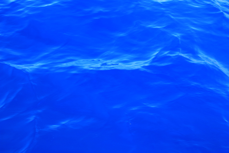 Crater Lake’s legendary “blue” water.