Walking San Francisco’s Wicked Barbary Coast Trail

San Francisco is a city born within a moment – the discovery of gold in 1848. The city’s parents were not elites or idealist, but gritty prospectors, sailors, railroad workers, gamblers, ladies of the night, grifters, poets, and carney hustlers. Like then, today’s San Francisco is often idealized as being a place where a person can discover one’s fortune, where an individual can craft their future, and where it’s OK to be weird. But, beneath the sidewalks, unimpressive alleys and among lonely buildings of the  original city the old Barbary Coast is a hidden San Francisco, a city that was forged in fear, sex, and gold.

Trip Report:
Volunteer Leader: Mark Hougardy | Organization: Eugene-based Hiking Club | Date: November 2018 | Duration: 4 days | Participants: 8 | Type: walking and urban exploration

Our interpretive walking trip explored how fear, sex, and gold changed the city in three important ways. We saw how fear directed at those considered “unfit” by society  (poor, minorities, and women) reveals they are the true backbone of the city, then how censorship of sex led to modern freedoms, and finally how gold fever changed forms never really disappeared.

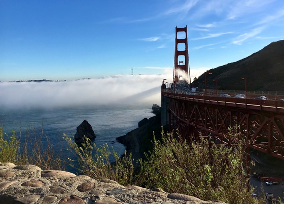
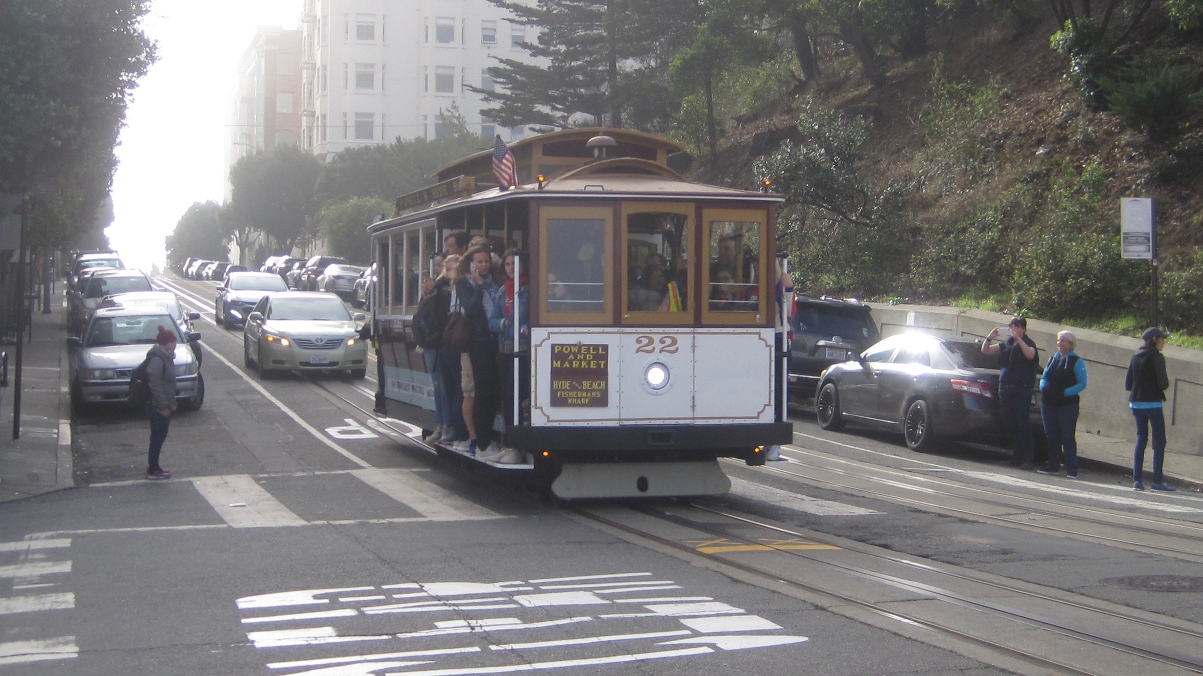
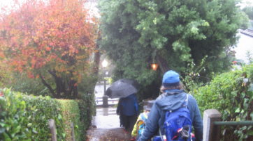
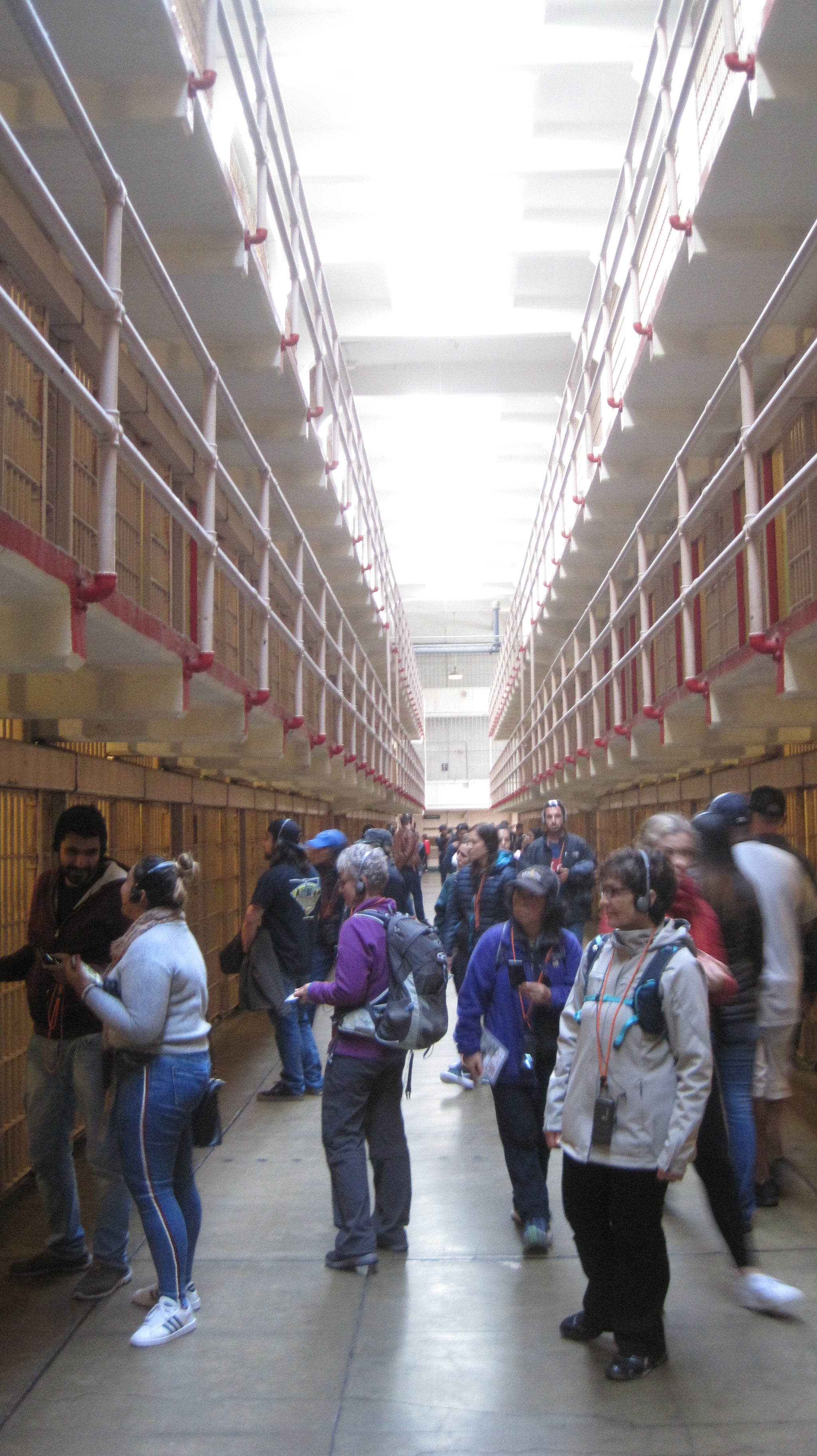
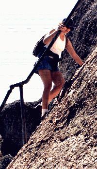
Our group traveled by air from Oregon on Thanksgiving Day to San Francisco. Many of us overnighted at the Fort Mason Hostel and dined at a waterfront restaurant. The next day we traveled by trolley to Union Square and enjoyed the Christmas decorations before starting our 5-mile walk. We explored the sordid history of Maiden Lane, the colorful streets of Chinatown, and the historically depraved area known as the Barbary Coast. Our route followed much of the original shoreline, which is now half a mile inland. We visited City Lights Books and places where the counter-culture Beats hung out. We climbed the steep steps of Telegraph Hill to see the murals of the historic Coit Tower. Our walk took us along garden-lined staircases and alleys. The next day we traveled to the lonely island of Alcatraz to learn more about its prison then enjoyed an afternoon exploring the city. That evening the group enjoyed a salty performance of Beach Blanket Babylon. On the final full day, several members walked ten-miles from the Marina District over the Golden Gate Bridge to Sausalito and returned by ferry. The group walked ~20 miles in total. The group returned by plane to Oregon. Photos by Mark Hougardy & Meg Stewart Smith.

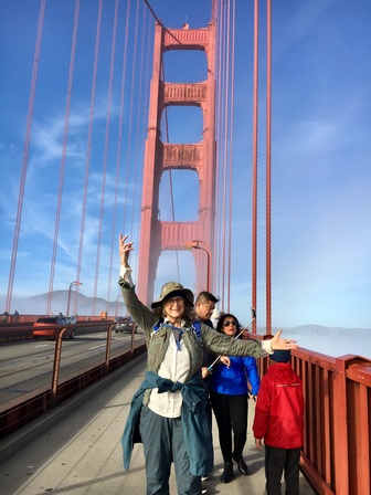
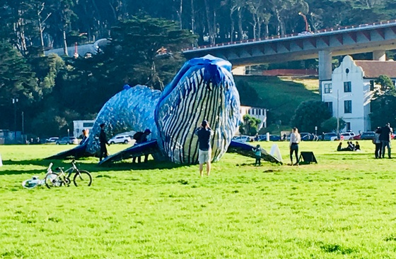
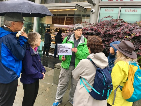
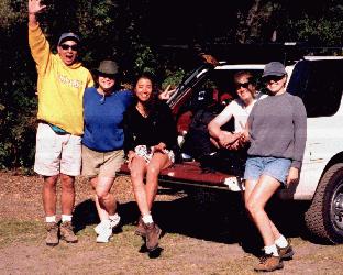
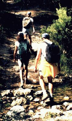
Some of the faces and places who showed participants a good time… er, helped them learn more about San Francisco’s story on this wicked trip.

Group Leader Mark Hougardy sharing a story about a gutsy woman who challenged societal norms in the 1860s. Today, everyone can ride a trolley in San Francisco because of her struggle.

We caught a Holiday performance of Beach Blanket Babylon. King Louie sings his heart out. Photo: Beach Blanket Babylon

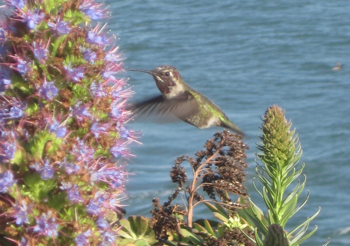
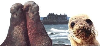
A resident of Alcatraz Island

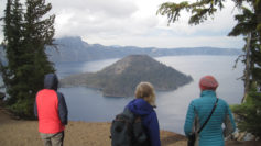
Celebrating the Autumnal Equinox at Lava Beds & Crater Lake

This was an exploration of two dramatic volcanic landscapes timed with the Autumnal Equinox.

Trip Report:
Volunteer Leader: Mark Hougardy | Organization: Eugene-based Hiking Club | Date: September 2018 | Duration: 4 days | Participants: 5 | Type: car camping, hiking, and caving

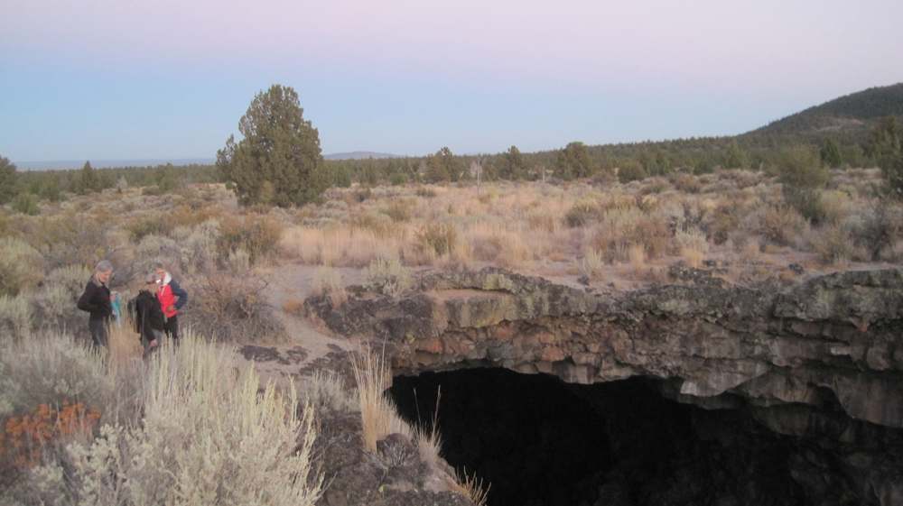
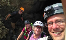
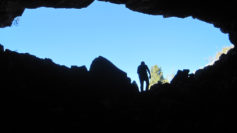
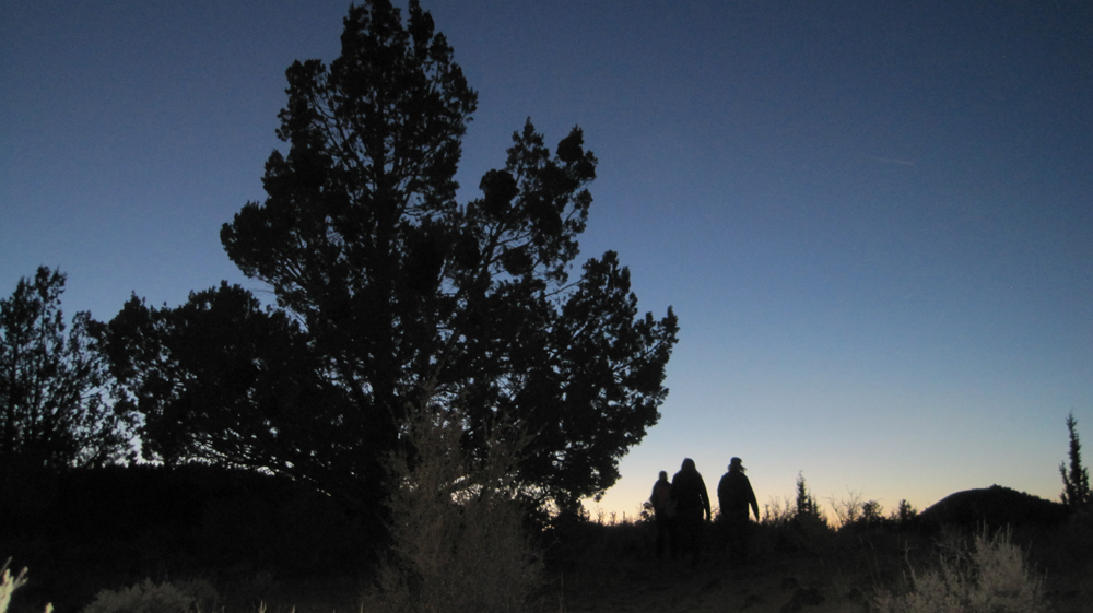
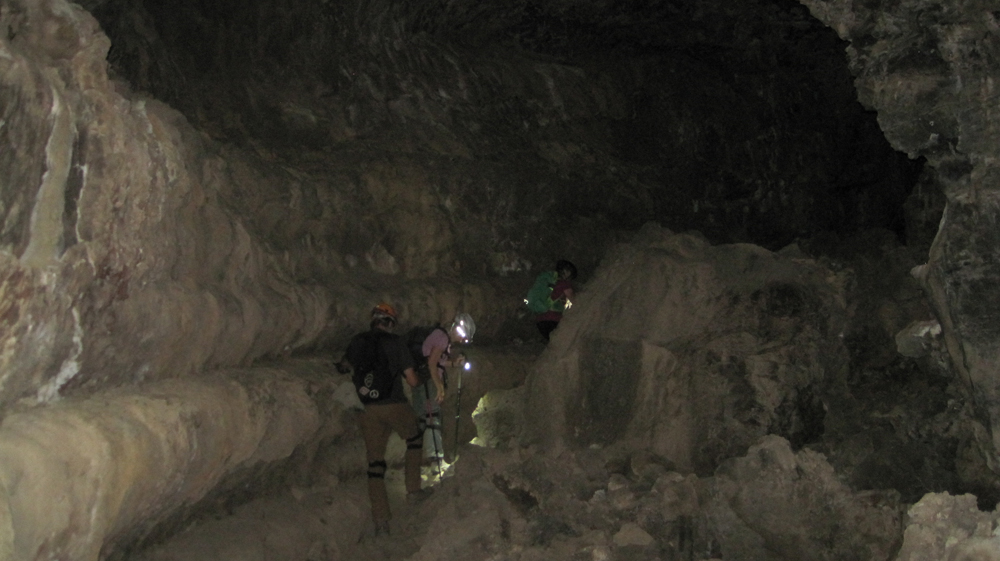
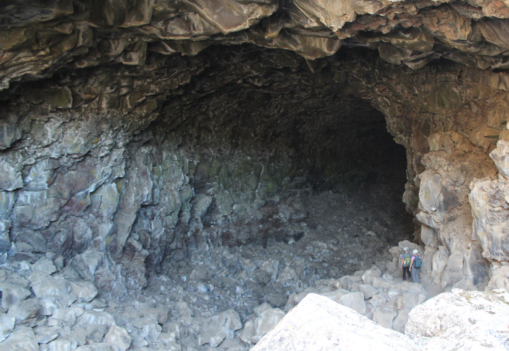
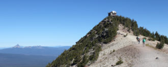
Upon arriving at the forbidding Lava Lands National Monument we made camp and then explored several accessible lava tube caves around the visitor center. We also climbed the conical shaped 5,302-foot tall Schonchin Butte where we enjoyed views 100 miles east to the Warner Mountains, near Nevada, and 50 miles west to Mount Shasta. In the evening, we walked along a dusty trail into the Schonchin Wilderness Area and encountered an entrance to a lava tube that was at least 4 stories tall.

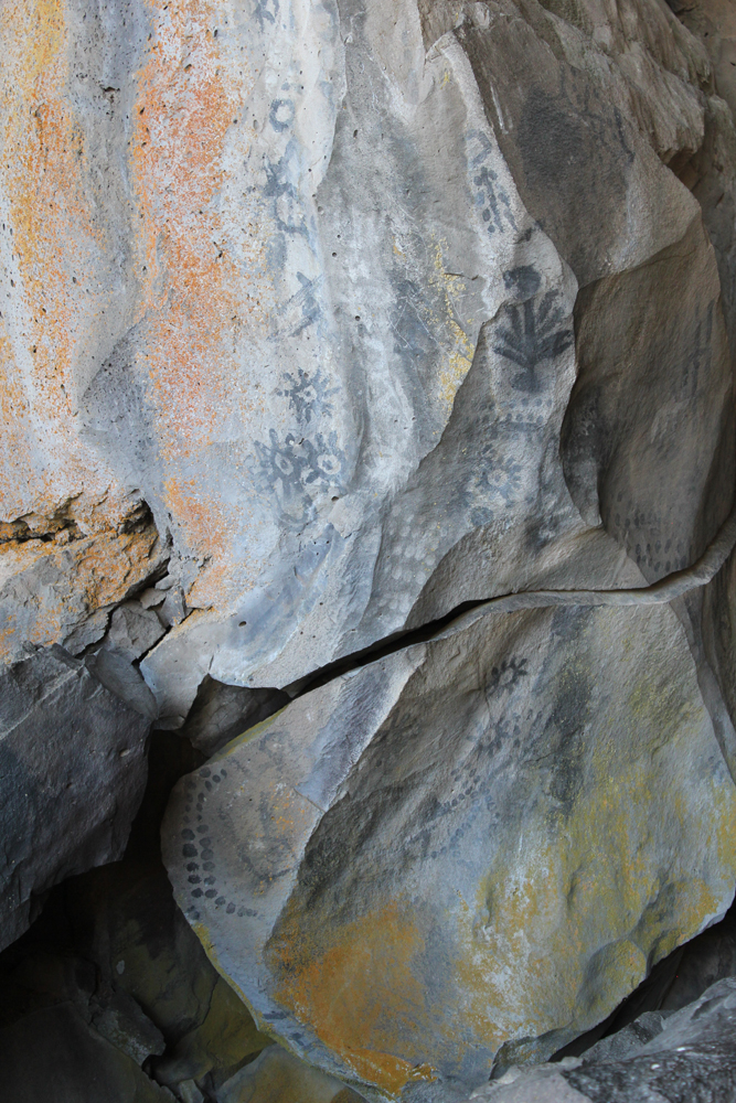
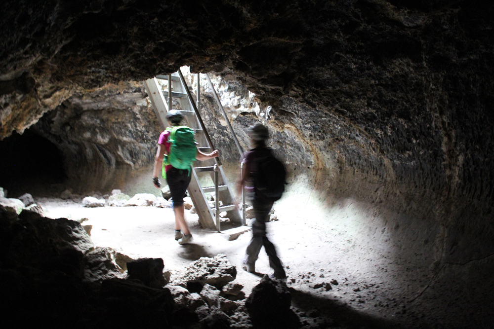
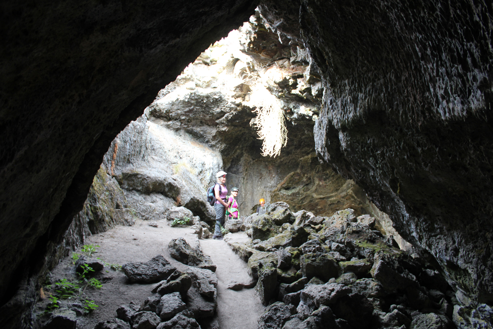
The next morning we hiked from the campground to Skull Cave where a small ice pond can be viewed year round. We also hiked to several pictograph caves and enjoyed our lunch on the trail. As the afternoon warmed we spent our time underground where we explored three caves and partially a fourth. Back at camp, we were surprised to discover that several hundred bugs had descended upon the hood of one of the cars, possibly attracted by the metallic-blue color. They had apparently been engaged in a frenzied mating and exhausting themselves to death. Bugs that fell onto the ground were snapped up by an eager lizard. As the sun set, we hiked into the nearby wilderness and enjoyed a pastel sky.

On the third day, we packed up and drove through the northern section of the monument. Our last stop was to Petroglyph Point where a monolithic wall includes petroglyphs, raptor nests, and evidence of former wave action. Tule Lake was a gigantic, yet shallow inland lake that existed for millennia. The lake was drained in the early 1900s and the exposed land turned into farmland. The existing lake is far to the west and is one-sixth its original size. Future explorations to Lava Beds will include additional sites of the Modoc War and seeing the remnants of an imprisonment camp where Americans of Japanese ancestry were forced to live during WWII. In the afternoon we drove to Crater Lake and made camp. The Mazama Campground was closing for the season and this was its last weekend. Upon our arrival, the sky darkened and it rained for several minutes. After making camp we hiked to the Great Spring and down the picturesque Annie Creek trail loop. In the late afternoon, we made good use of the camp showers then drove the rim to enjoy the views from Discovery Point. At dinnertime, we made our way to the historic Crater Lake Lodge where we raised a glass to celebrate the Autumnal Equinox then enjoyed a meal. Back at the campground, a nearly full moon encouraged multiple parties at neighboring campsites and sleeping was difficult.

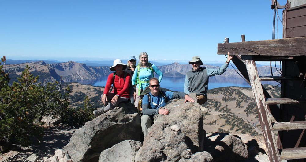
On day four we woke to a frosty 28 degrees Fahrenheit. We warmed up though at the local Annie Creek Restaurant with some hot coffee and breakfast. As we drove along the east rim to the Mount Scott trailhead the sky was blue and clear. We hiked for about an hour to this highest point in the park, which stands just less than 9,000 feet. The view of the once massive volcano Mount Mazama, now known as Crater Lake, was superb! We could see about 100 miles in each direction; to the north the Three Sisters, and to the south Mount Shasta. As noon approached we hiked back down the mountain and ended our trip with a late lunch. There was a definite chill in the air, fall had arrived.

Keeping It Wild – Camping 101 Event

Organization: Grand Opening Camping Festival at Little Basin
Date: April 20, 2012
Trip Facilitator: Mark Hougardy

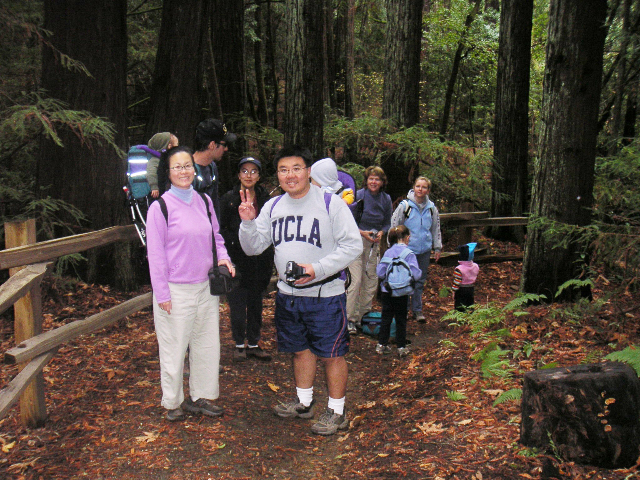
In the heart of the Santa Cruz Mountains is a beautiful area of redwoods that most people have never seen. Until recently the area was a retreat for employees of Hewlett-Packard. The area called, Little Basin is a new acquisition of the California state park system that has been annexed by Big Basin Redwoods State Park, yet run as a separate entity. In April of 2012 Little Basin, held a Grand Opening Camping Festival. I organized and facilitated a “Camping 101” event. Here are some photos:


Hiking for Families Course 2004


Organization: Sunnyvale – Cupertino Adult Community Education
Instructor: Mark Hougardy
Participants: 7-12

Course Overview: Explore local parks and natural areas with other young families. Parks are within an hour’s drive. Provide your own transportation. Bring lunch, water, first aid kit, and whistle. Wear layered clothing, comfortable shoes and bring a hat. Trails are easy but not stroller friendly. Each hike is 2-3 miles and about 2 hours in duration. Destination parks will also have areas to explore and play. Meet at 9:50 AM. Hikes start promptly at 10:00 AM Restrooms are available at the parks!

The Instructor: Mark Hougardy has over ten years of experience developing and leading interpretive day hikes and overnight camping trips. He works closely with select National and California State Park associations to further their interpretive missions. Mark is a father and enjoys fostering experiences for families to enjoy the outdoors.

October 9, 2004: VILLA MONTALVO COUNTY PARK
Start Location: ACE classroom 4 C
Travel time from ACE: 20 minutes
Description: A pleasant hike in the grounds of the Villa Montalvo Estate. The hike will include a trip to Vista Point for views of Silicon Valley clear to San Francisco. The hike will end on the front lawn of the estate. Time will be available for an optional picnic and explore a nearby lawn-art structure.
Directions: From ACE travel South on Saratoga-Sunnyvale Road to downtown Saratoga. Continue straight (southeast) on Hwy 9 one-half mile. Turn Right onto Montalvo Road and follow signs. Park in Lot #4.

October 16, 2004: SANBORN-SKYLINE COUNTY PARK
Start Location: Meet at Sanborn Park Hostel. Located inside the park.
Travel time from 280/DeAnza Boulevard: 20-30 minutes.
Description: The hike emphasizes the natural history of the area, including the San Andreas Fault, the tallest organisms on the planet and the animals who inhabit(ed) the park. We will visit the junior museum.
Directions: From the 280/Saratoga-Sunnyvale Road intersection travel South on Saratoga-Sunnyvale Road to downtown Saratoga. Turn Right on Hwy 9; travel 2 miles into the mountains. Just past the Saratoga Springs Campground turn Left on Sanborn Road, travel 9/10 mile, make the first and only Right turn on Picks Road. Continue one-half mile until the road dead-ends. Turn Right into the Sanborn Park Hostel parking lot.

October 23, 2004: HUDDART COUNTY PARK
Start Location: Meet at Huddart Park, Werder parking lot.
Travel time from 280/DeAnza Boulevard: 30 minutes.
Description: Horses and riders frequent this park, riders often let children pet their horses but no sudden movements or noise, please. The hike includes redwoods and great trials. The hike will end at the children’s playground (Werder parking lot) where parents can enjoy a picnic lunch while the children play. Bring a picnic lunch. BBQ grills are available.
Directions:
From the 280/Saratoga-Sunnyvale Road intersection travel North on 280. Turn off at the Woodside Road (Highway 84) exit. Turn Left (westbound towards Woodside). Proceed approximately 1.5 miles through the Town of Woodside. Turn Right on Kings Mountain Road. Proceed up the hill to the main park entrance. Parking fee of $5.

Exploring Santa Rosa Island, Channel Islands National Park

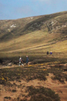
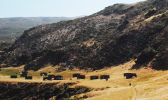
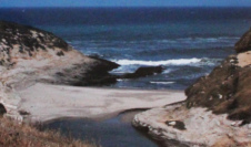
Located off the Santa Barbara coast, California’s Channel Islands reflect a natural beauty reminiscent of California before the modern age. Join us as we make the 40-mile channel crossing to Santa Rosa Island and enjoy 3 days exploring this rarely visiting landscape. The island is the second largest (52,794 acres) in the park and offers grass-covered hills, canyons, creeks, rocky intertidal areas, and sandy beaches.

Organization: GlyphGuy Adventure Travel
Date: August 1999 (two trips: one was a scouting trip)
Trip leader: Mark Hougardy
Participants: 3


Backpacking Independence in Point Reyes National Seashore

Trip Report: Organization: GlyphGuy Adventure Travel
Dates: July 3-5, 1999
Trip leader: Mark Hougardy
Participants: 6

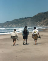
Celebrate the 4th of July, Independence weekend at Point Reyes National Seashore. This national park is an explorer’s paradise with miles of unspoiled beaches, enticing trails, and beautiful mountains. Fireworks are not allowed, though Mother Nature always provides a spectacular natural attractions show. Local sights include Alamere Falls, a 40-foot fall that plunges onto the beach; and hiking to Arch Rock, a beautiful hike overlooking the ocean with views to Drakes Estero, Drakes Beach and the northern section of Point Reyes.

The inbound hike on Saturday is from the Bear Valley Visitors Center to Wildcat Camp. The hike is 6.3 miles one way and 3-4 hours in duration. Some of the trails are steep and include loose rock. Sunday is reserved for your own exploration or to enjoy the beach. Meet at the Bear Valley Visitors Center on Saturday, 10:00 am, July 3rd to hike to the campsite. Reservations are required.

ITINERARY
Saturday, July 3, 1999
Arrive at the Bear Valley Visitors Center by 10:00 am. Please allow for a two-hour drive from the south bay area. You will need to register your vehicle with the Ranger for overnight parking. Depart on the trail BY 10:30 am. Our hike route includes the forested Bear Valley Trail, through Divide Meadow. This is an easy hike with rolling hills and light grades. Continuing on Glen Trail the trail climbs upward and we pass through forests, chaparral and arrive on the Coast Trail overlooking the Pacific. The trail becomes rocky with a steep grade. The last three-quarter mile is downhill to the grassy field of Wildcat Camp. The day is spent exploring the local area, or hiking down the beach to Alamere Falls and preparing for a beach fire (if fire danger is not extreme) that evening.

Sunday, July 4, 1999
Sunday is free-form. You may wish to explore the beach or enjoy a day in the sun. For the more energetic we will explore some of the local freshwater lakes and trails. The area has plenty to experience and appreciate. A beach fire in the evening if permitted by the level of fire danger.

Monday, July 5, 1999
In the morning we eat a good breakfast and take a walk on the beach. We return to pack up and backtrack our steps to the Bear Valley Visitors Center. We arrive with plenty of time left in the day to return home and beat the holiday traffic. Small side-trips around the Visitor’s Center include the quarter mile Earthquake Trail located on the San Andreas Fault and a reconstructed Miwok Village.

This is a hands-on trip into Point Reyes. We hike, camp, explore and experience this dramatic and sometimes haunting land. Participants need to bring their own gear and sense of adventure. Sunday is free-form: you are welcome to join us in exploring the trails, relax on the beach or explore on your own. In the evenings (if fire danger allows us) we gather driftwood and enjoy a beach fire.

A Taste of Santa Clara Valley’s Heritage

Today, Silicon Valley is home to cutting-edge technology, but just a few short decades ago this land was covered by a stretch of orchards twenty miles wide. Join us as we help celebrate this heritage at the 100-year anniversary of Olson’s Cherry Farm in Sunnyvale, California. Olson’s’ is unique is that it is one of the last remaining farms in the south bay.

The day includes a tour of the farms before traveling (with cherries in tow) to the historic 1908 Sanborn Park Hostel to bake fresh, homemade cherry pies. Then we’ll step outside and enjoy a scoop of hand-cranked vanilla ice cream, with our pie, under the redwoods. A picnic lunch encouraged for the hostel.

Time: Meet in front of the Cherry Stand at 10:45am. Tour starts at 11:00 am
Location: Olson’s Cherry Farm. Near the corner of Mathilda Ave on El Camino Real, Sunnyvale.
Cost: $10.00 per person, includes a tour, pie makin’s and ice cream. Checks should be made to Sanborn Park Hostel.

Organization: Sanborn Park Hostel
Date: June 6, 1999
Trip leader: Mark Hougardy
Participants: 12

Berry Creek Falls Loop Hike, Big Basin Redwoods State Park

Let’s spend a day walking among giants!

Big Basin Redwoods State Park is home to thousands of impressive redwoods that tower hundreds of feet overhead.

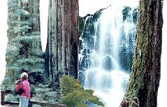
Our 11-mile loop hike will include the Golden Cascade, Silver, and the 65 foot Berry Creek Falls.

Departure Time: 9am meet at the Sanborn Park Hostel, Saratoga, CA to determine carpools.
Re-Group Time: 10am by the Nature Center/Park Headquarters, Big Basin Redwoods State Park.
Cost: Adventurous spirit.

Bring your own water, munchies and lunch. Wear layered clothes and sturdy shoes. A change of clothes and comfortable shoes are recommended to have in the in the car for your return.

Organization: Sanborn Park Hostel
Date: May 30, 1999
Trip leader: Mark Hougardy
Participants: 12

Springtime Exploration of Pinnacles National Monument

Pinnacles National Monument is a dry terrain capped with disfigured spires that reach into the sky. In the springtime, Pinnacles National Monument brings temperate weather, colorful blooms, flowing streams and abundant wildlife.

Day hikes are roughly 8.5 miles in length and about 7-9 hours in duration. Trails include rough stairs hewn from the rock face, several tight fits and low overhangs. Sections of the trail are very steep and a moderate level of physical activity is required. Folks who are afraid of heights or claustrophobic may feel uncomfortable.

Meet at the Sanborn Park Hostel by 6:15 pm Friday, April 23, to determine carpool arrangements.

GEAR

  • Participants are responsible for their own camping equipment, gear, and food. A small, communal cooking stove for hot water etc. will be provided. Wear layered clothes and come prepared for any kind of weather.
  • Recommended gear for campground: tent, sleeping bag, comfortable shoes, cook stove, cooking utensils, mosquito repellent, flashlight.
  • Recommended gear for day hikes: day pack, hat, sunglasses, sunscreen, hiking boots, comfortable pair of extra shoes, camera, lunch, two liters of water per person per day. A flashlight is required for the cave.

ITINERARY
Friday, April 23, 1999
We will depart Sanborn Park Hostel as a group at 6:30 pm, arriving at Pinnacles Campground around 8:30 pm to unpack. We’ll enjoy a dessert of marshmallows and hot chocolate around the fire.

Saturday, April 24, 1999
We begin the morning with a decent breakfast and hit the trail by 8 am. We’ll hike to the Chalone Creek area and ascend the High Peaks Trail. After an initial steep incline, the trail opens and offers substantial views of Bear Gulch Reservoir, Balconies Cliffs, Mount Defiance and parts of the lush Moses Spring area. The trail winds among the spires then suddenly climb up the rock face, over support bridges, and to the picturesque top. We break for lunch overlooking the monument at our feet. Descending the trail we are likely to encounter a multitude of rock climbers near a small reservoir. We enter the Bear Gulch Caves, though we quickly yield onto the lush Moses Spring Trail. The cave is a roosting colony for endangered bats in the spring and should not be disturbed. Arriving at the Visitors Center we break for water and a short rest before continuing along a tree lined stream and returning to the camp. In the evening we “put our feet up”, enjoy the night and relax around the fire.

Sunday, April 25, 1999
Sunday we pack our tents and clean our campsite before hiking the Old Pinnacles Trail. This is a rocky, yet relatively easy hike to the base of some spectacular spires – a short distance beyond lie the quarter of a mile long, Balconies Cave. The cave is dark and will require flashlights. After the cave, the trail ascends to the Balconies Cliff Trail (.8 mile) with imposing views of Machete Ridge and Balconies which are sometimes called, “Little Yosemite.” Look for prairie falcons and golden eagles. The path returns to the Old Pinnacles Trail and a gentle descent to the parking area. We’ll depart in the afternoon at about 2 pm with plenty of light for a safe drive back to the South Bay.

CAMPGROUND & FACILITIES
The Pinnacles Campground is just outside the park boundary and provides a good base for exploring the monument. We will be tent camping. The camping areas include two adjoined sites along a creek. Parking for two vehicles is provided. Additional vehicles can park for $3 per day in the campgrounds lot. The campground includes toilets, coin-operated showers, and a campground store. Fires are permitted in fire pits. Wood for a central fire will be included.

DIRECTIONS
Pinnacles National Monument is roughly a two-hour drive south from San Jose. From Sanborn Park Hostel drive to 85 Freeway and head south. Junction of Hwy 101 continues south. Drive past Gilroy to Hwy 25, drive toward Hollister. Continue through Hollister on Hwy 25, drive 31 miles south is the monument. Turn right on Hwy 146 follow signs. Pinnacles Campground is located on the left.

Dates: April 23-25, 1999
Participants: 12
Trip Leader: Mark Hougardy
Price: $32.00 per person (reservations required)
Carpool Fee: $15
Accommodations: Tent Camping
Trip Rating: Moderate

Nose to Nose with the Elephant Seals of Año Nuevo

In the mid-1800s Elephant Seals were hunted for their oily blubber to light the lamps of San Francisco. But, within a few short decades, they were gone and thought to be extinct. Thanks to modern protections a small population has returned from the edge of extinction to reclaim their former territory on the California coast. In the wintertime at Año Nuevo hundreds of seals, from newborns, pregnant females and gigantic males congregate and we get to see them up close.

The seals gain their name from the elephantine noses possessed by the males.

The walking trips to see the seals are no more than 2 miles in length and about 1.5 to 2 hours in duration. Much of the terrain is loose sand. The hike begins with a thirty-minute walk from the Visitor’s Center to the tour staging area. Last chance latrine facilities are available. Here we will be joined by a docent who will guide us into the Wildlife Protection Area. Remember, bulls can move 20 feet, even in loose sand, in 2.5 seconds! You are requested to stay at least 40 feet away from the seals at all times.

Meet at the Sanborn Park Hostel on Sunday, January 10, BY 9 a.m. to determine carpool arrangements. Reservations are required. The fee is $10.00 per person, children under 3 are free. Parking is available at the reserve on a per vehicle ($5) basis and must be paid at the entrance station. Picnic tables are located near the Visitor’s Center for lunch.

Año Nuevo is roughly an hour and fifteen-minute drive (55 miles) from the hostel. After visiting the reserve, weather permitting, we will continue north along Hwy 1 to explore the wildlife areas and tidepools between Pigeon Point Lighthouse and Montara. Plan to eat before entering the reserve as we will be hiking during lunch time. Picnic tables are available near the Visitors Center.

The trip goes rain or shine. Recommended equipment/gear for this trip: rain jacket/clothes, headband/ear band, camera, comfortable sports or hiking shoes, a second pair of shoes to keep in the car for return, lunch, day pack with water. Wear layered clothes and come prepared for any kind of weather. Please note the reserve does not allow pets, smoking, food, gum chewing or umbrellas in the wildlife protection area.

Organization: Sanborn Park Hostel
Trip Rating: Easy
Date: January 10, 1999
Trip Leader: Mark Hougardy
Participants: 14

Whale Watching Excursion in Monterey Bay

January is a prime month to watch Gray Whales as they swim offshore during their annual migration from Alaska to the warm waters off Baja California.

Enjoy a day whale watching and exploring the historic Cannery Row in Monterey. The day begins carpooling from Sanborn Park Hostel to Monterey’s Wharf. In Monterey, we’ll board the 55′ Pt. Sur Clipper and depart for the deep water of Monterey Bay in search of these gentle giants that can reach up to 45 feet in length. The accompanying Marine Biologist will provide onboard interpretation about Gray Whales and other observed sea creatures as seals, otters, and sea birds. In the afternoon return to Monterey for personal exploration of the historic Cannery Row restaurants and shops. In the early evening, we return to the hostel.

Organization: Sanborn Park Hostel
Date: January 10, 1999
Trip leader: Mark Hougardy
Participants: 10

Angel Island Day Hike and Picnic

Join us on the last day of Spring as we depart on the Tiburon Ferry to explore the beautiful and historic Angel Island, State Park. Bring a day pack with foods for a picnic atop Mount Livermore which offers breathtaking 360-degree views of the Bay. Be prepared for 5+ miles of hiking on this all-day trip. Meet at the Ferry Terminal in Tiburon to depart on the 10:00 am ferry. Expect two-hour drive from the south bay. Directions: Past the Golden Gate Bridge, drive 101 north, take the Tiburon exit (Hwy-131) and drive 10 minutes. Look for the $5.00 a day parking area located next to Library and Home Savings Bank on left. Walk several blocks to the STOP sign, the ferry is on left.

Organization: Sanborn Park Hostel
Date: Saturday, 20 June 1999
Trip leader: Mark Hougardy
Participants: 10

A Weekend of Redwoods, Elephant Seals and Sanborn

The summer at Sanborn provides opportunities to meet others from distant lands and explore the abundant areas around the hostel. On Saturday morning we depart for Ano Nuevo State Reserve to hike among the dunes and view the massive bull Elephant Seals. Some bulls can be up to 16 feet in length! The afternoon will be spent beachcombing and exploring the coastline. In the evening we return to Sanborn Park Hostel for grilling your favorite food on the bbq, meeting new folks, sitting around the fire, watching deer in a nearby field, and telling stories. Creative thoughts and those young at heart are welcome. We overnight at the hostel. On Sunday, we head to Big Basin Redwoods State Park to hike the 10 mile Berry Creek Falls Loop. This loop includes the remarkable Golden Falls, Silver Falls and the 65 foot Berry Creek Falls. All trips depart from the hostel at 9:00 am. Overnight reservations recommend fee per person is $8.50.

Organization: Sanborn Park Hostel
Date: Saturday-Sunday, 11-12 June 1999
Trip leader: Mark Hougardy
Participants: 12

Kayaking and Nature Viewing in Elkhorn Slough

Join us on Saturday, June 6 as we discover the abundance of Elkhorn Slough. We’ll view migratory waterfowl, shorebirds, harbor seals and possibly rafts of sea otters. Elkhorn Slough is unique because it is one of the few relatively undisturbed coastal wetlands remaining in California. The slough extends about six miles inland and consists of some 2,500 acres. The trip lasts 5 hours. Reservations required.

Organization: GlyphGuy Adventure Travel
Date: Saturday, 6 June 1999
Trip leader: Mark Hougardy
Participants: 8