Trip Report:
Group Leader: Mark Hougardy | Organization: Eugene-based hiking group | Date: late-June 2022 | Duration: 3 days | Hiking Distance: 9 miles | Participants: 5 | Type: Hiking & Tent Camping
This trip was to visit the southeast side of Mount St. Helens, in Washington State.
Day 1: The group arrived and we had time to explore the quiet tent-only campground and some local trails near Cougar, Washington. We had dinner, talked around the campfire, and some stayed out close to 10 pm as the mid-summer sun stayed long into the evening sky.

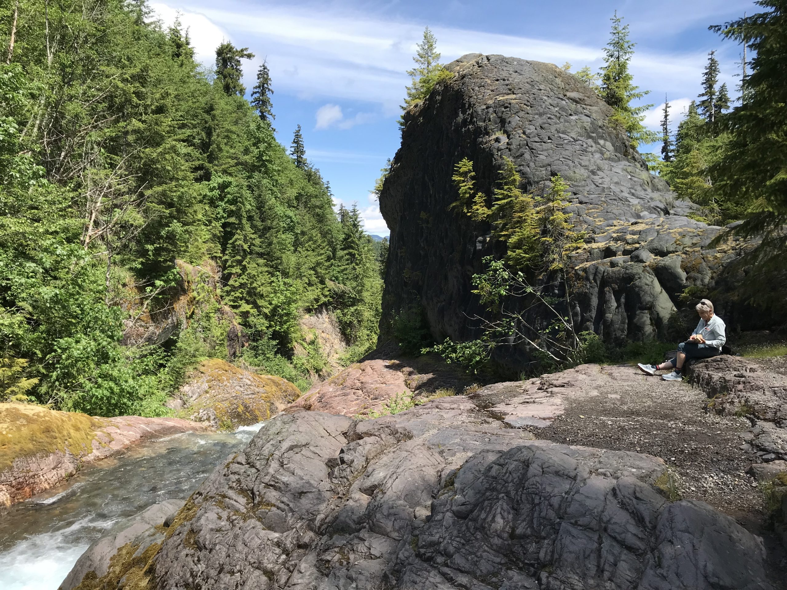
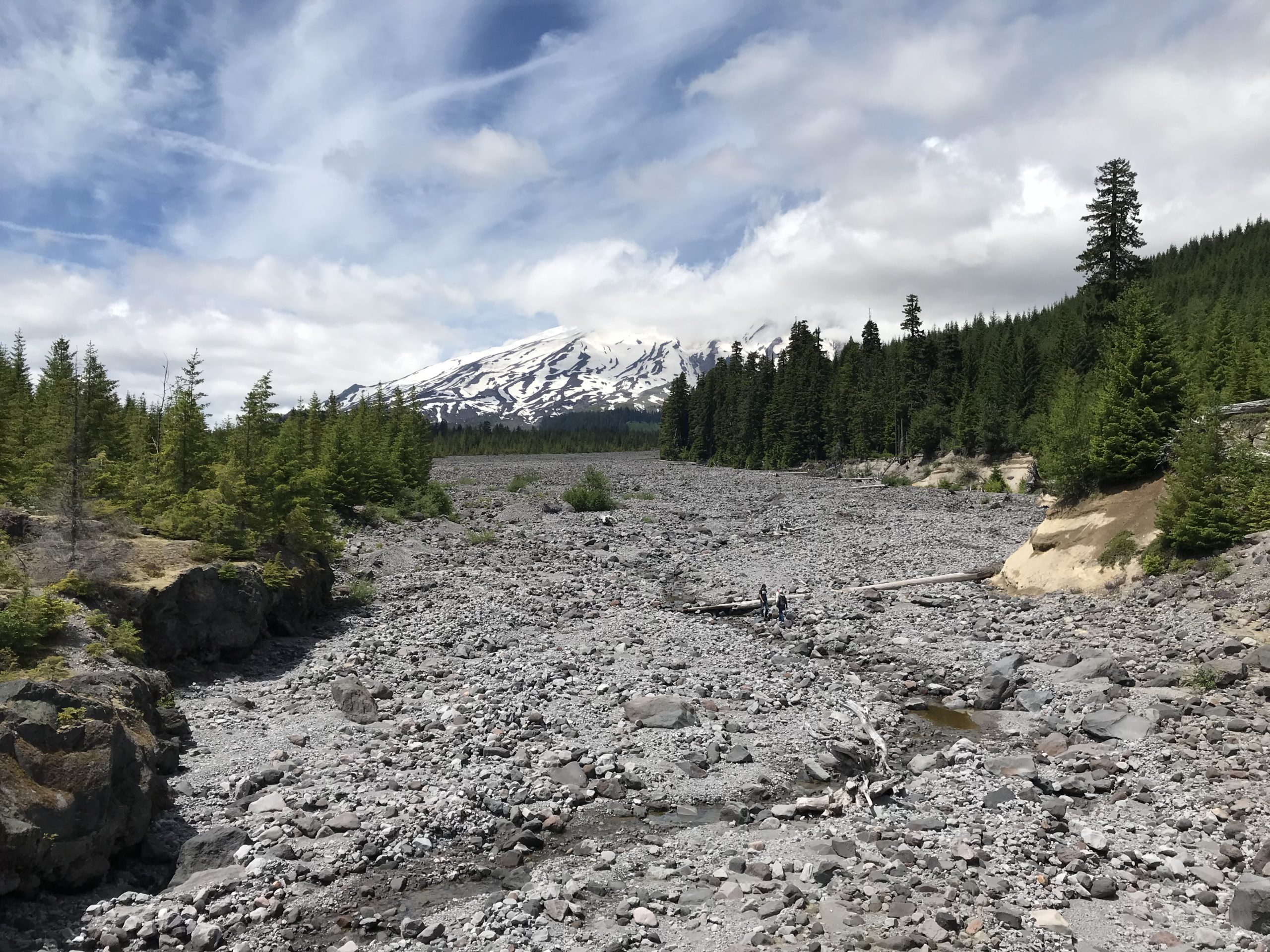
The morning of Day 2 began with birds blasting the campground with calls at about 4:30 am! The group had a relaxed morning, though several commented they had not slept well that night. Possibly this was related to being tired, or we were talking, but while driving to the hiking area we missed a turn-off and went the expected distance down a road to realize we needed to backtrack. This delay caused us to start about an hour and a half late. Driving back, we learned there was a significant absence of Forest Service signage in the area related to general features like river crossings, sights, overlooks, etc. We finally made our destination of Lava Canyon and hiked around the upper trail area. Prior to the trip, we knew the suspension bridge was out of commission, though we had hoped to hike downstream to the Ship Rock area, sadly this trail was also closed. Hiking back, we crossed over the main footbridge and ate lunch overlooking the beautiful glacial-blue Muddy River. Leaving, we made a stop at the bridge overlooking the 1980 lahar flow with Mount St. Helens looming in the background.

We drove to the June Lake parking area and began our hike to June Lake. The plan had been to continue to Chocolate Falls for a 5-mile loop, but about 2 miles into the trip the leader made the call to stop the hike soon after June Lake. This was an unhappy call to make but hopefully avoided an injury. Driving back to camp, we located where the earlier signage mistake had been made – a sign had been misinterpreted. We also visited the Ape Cave turnoff to better know where to go the following morning and we discovered the sign along the road identifying the turn for Ape Cave was completely missing! Finding the turn, we stopped for 20 minutes at the Trail of Two Forests Interpretive Site where a 2,000-year-old lava flow from Mount St. Helens ran through the forest, around trees, solidifying around the trunks and leaving tree wells. The group ended our day back at the campground and had an early evening.

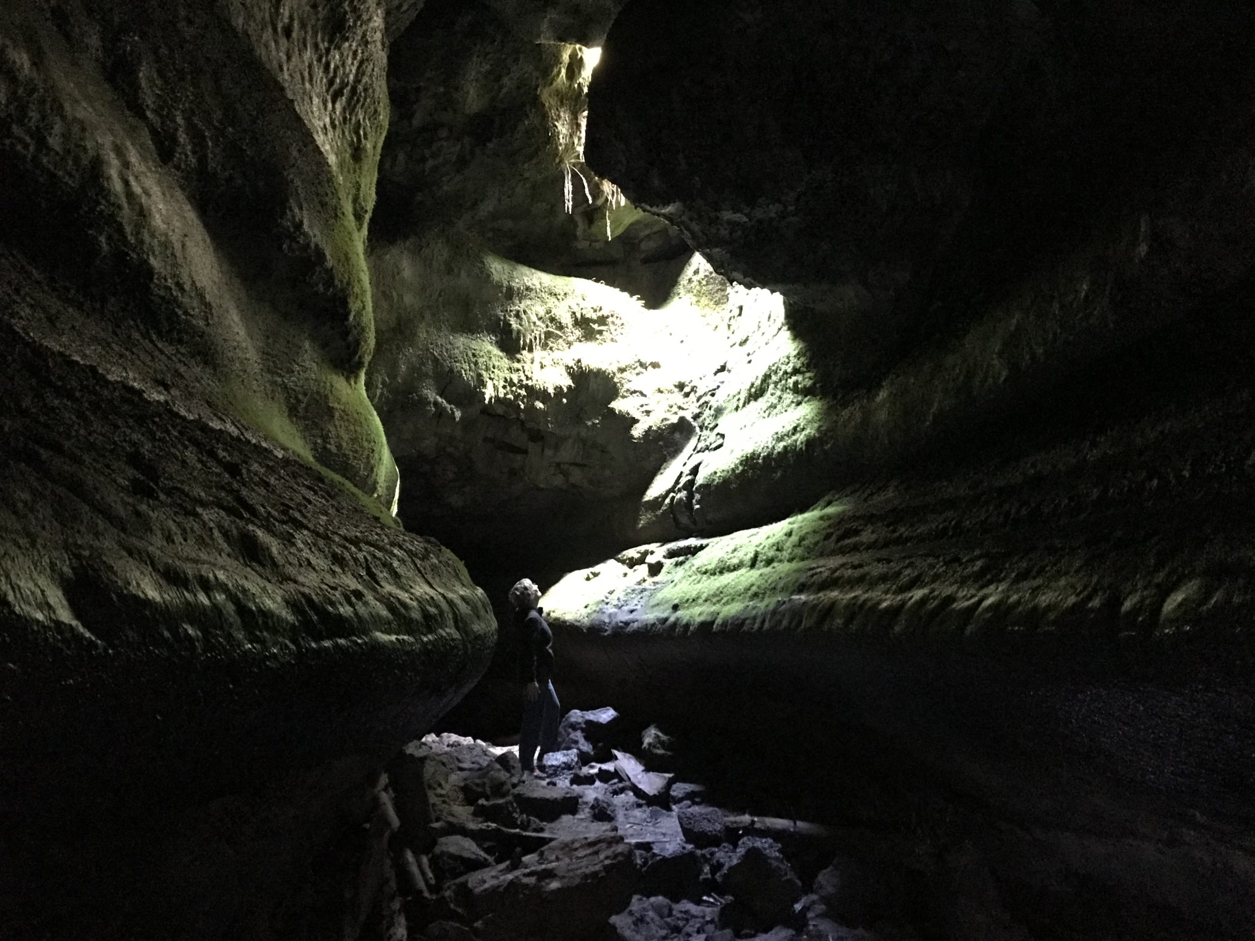
On the final day, we departed camp at 8:45 am and visited Ape Cave for our 9-9:30 am time slot to arrive. We parked in a lower lot as the official signage in the area was poor and did not direct us to the upper lot. Finally, we began our adventure up the difficult 1.5-mile upper cave route. Progress was slow as there was a significant amount of bouldering across rock falls, several tight places, and a harder-than-it-sounds narrow 8-foot wall that had to be scaled. There were a few scraped knees, but the group arrived at the end of the lava tube; our completion time was 2 hours and 15 minutes. We walked 1.5 miles back to the visitor center through the forest for farewells and then drove back to Eugene. We had hoped to get ahead of any surge related to the Fourth of July weekend holiday traffic but still managed to hit bumper-to-bumper traffic through Portland, making drive time from Ape Cave to Eugene 4 hours.

