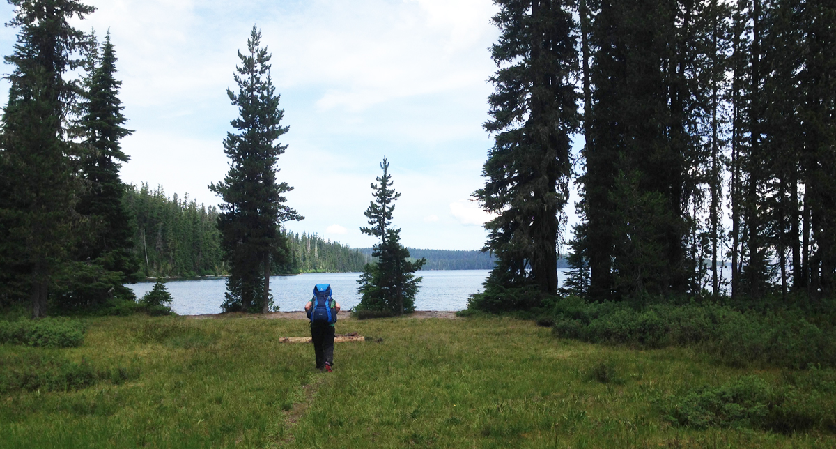
 Waldo Lake is one of Oregon’s largest bodies of water, though its lack of amenities such as convenience stores, resorts, and ban of motorized motors upon the water makes this destination easily overlooked. If you’re interested in a great overnight backpacking trip to try the Jim Weaver Loop, a 20.2-mile trail around Waldo lake, here are some photos taken in early July.
We parked the car and started from Shadow Bay near the southeastern edge of the lake. Our hike around the lake was in a clockwise direction. We were quickly out of sight from the parking lot and headed along the trail.
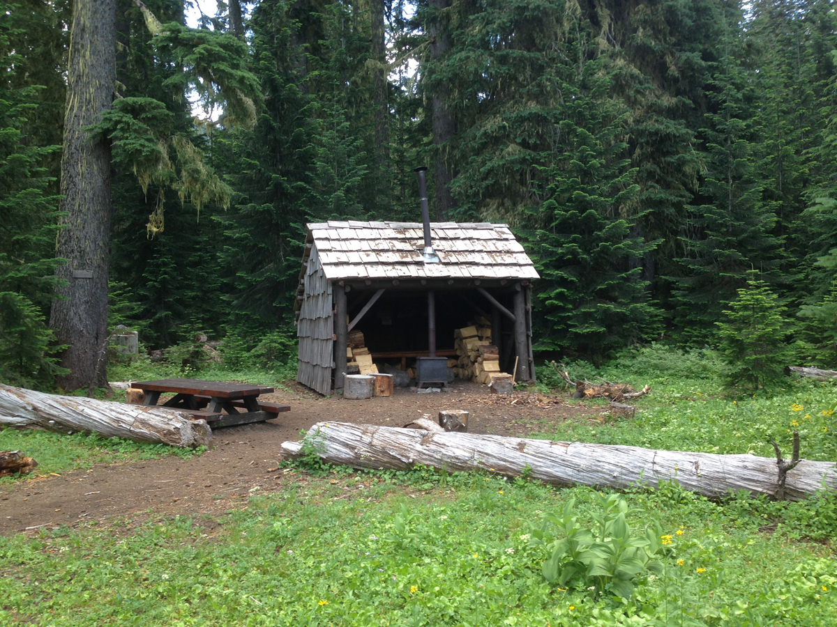 Near Mile 2. Our first stop was at the South Waldo shelter, it was fully equipped with wood and a stove; this is a popular destination in the winter. We continued on.
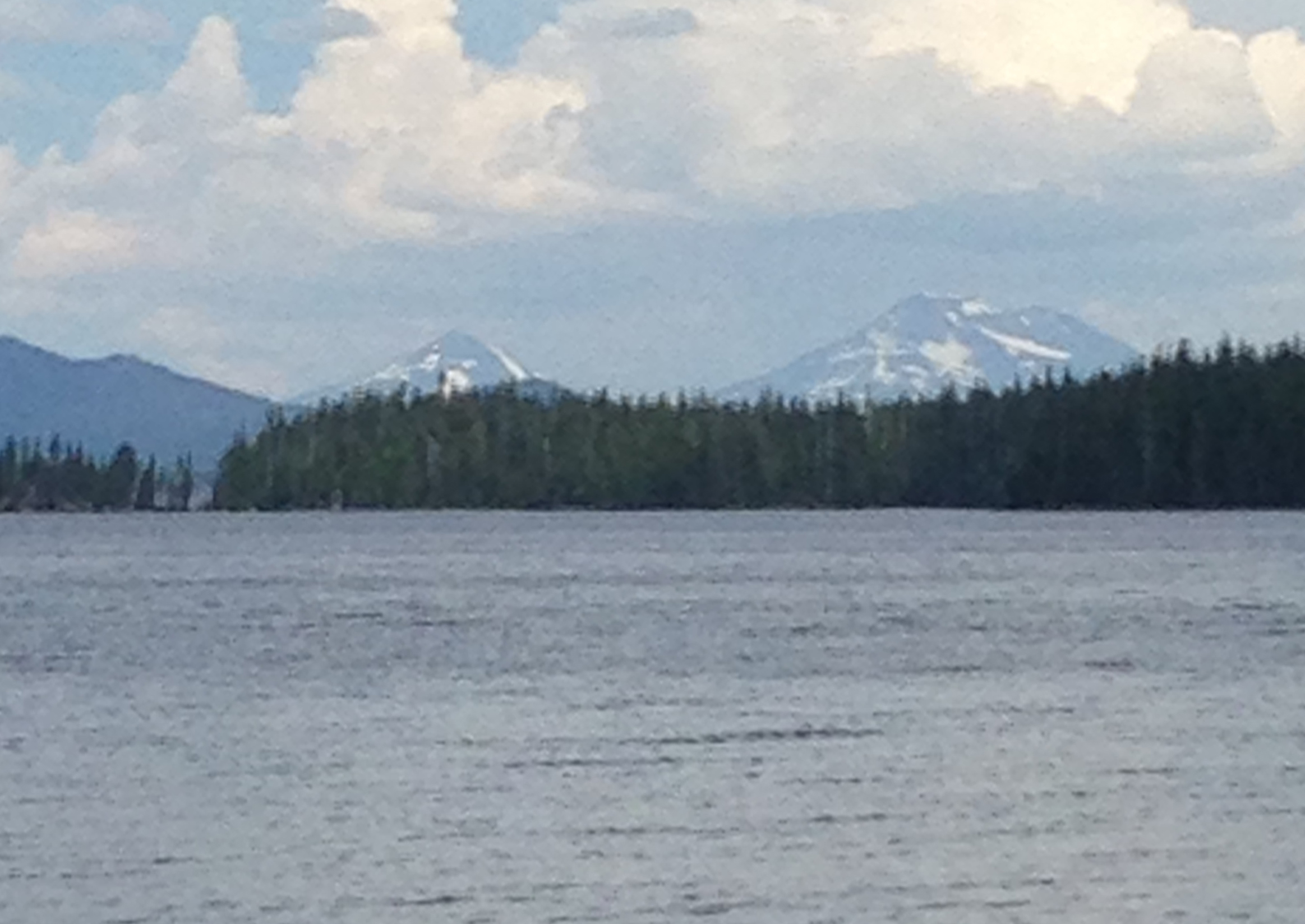 The south shore had some great views of the South and Middle Sisters. The trail now meandered up the western side of the lake.
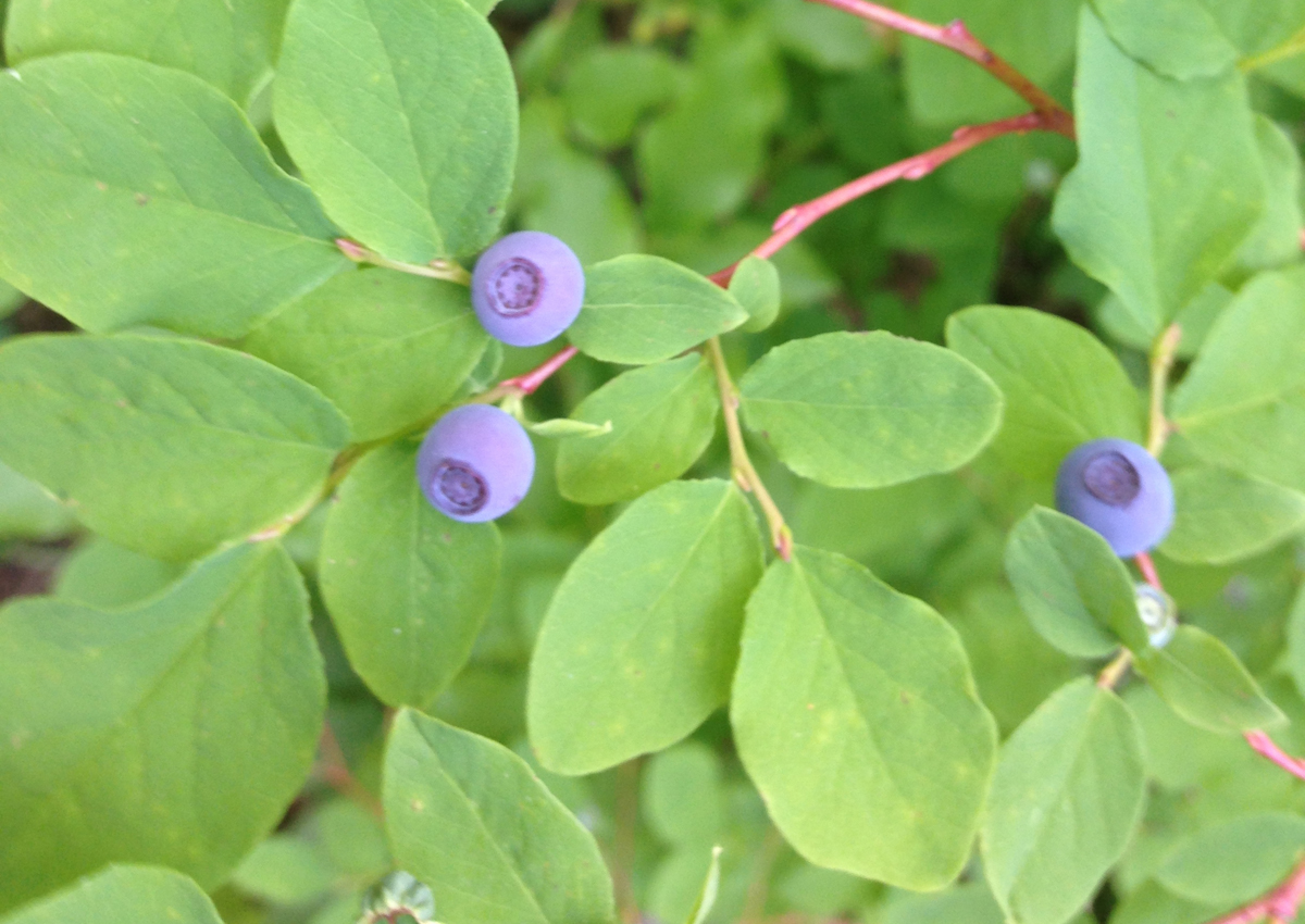 Cascade Blueberry
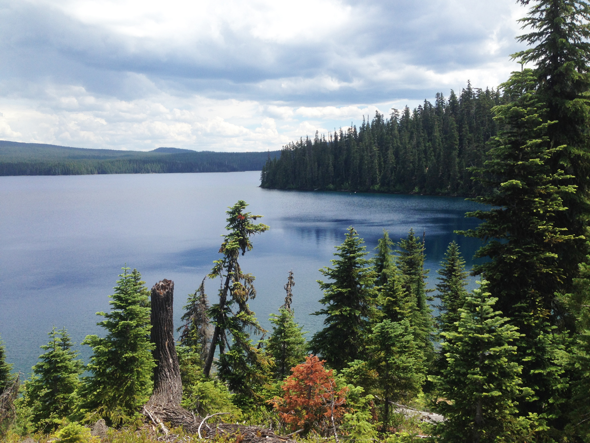 Close to Mile 5. Overlooking the picturesque Klovdahl Bay. Overhead, the clouds began building into thunderheads; in the distance, we could hear the rumbling crescendo of thunder as though gigantic timpani drums were being struck.
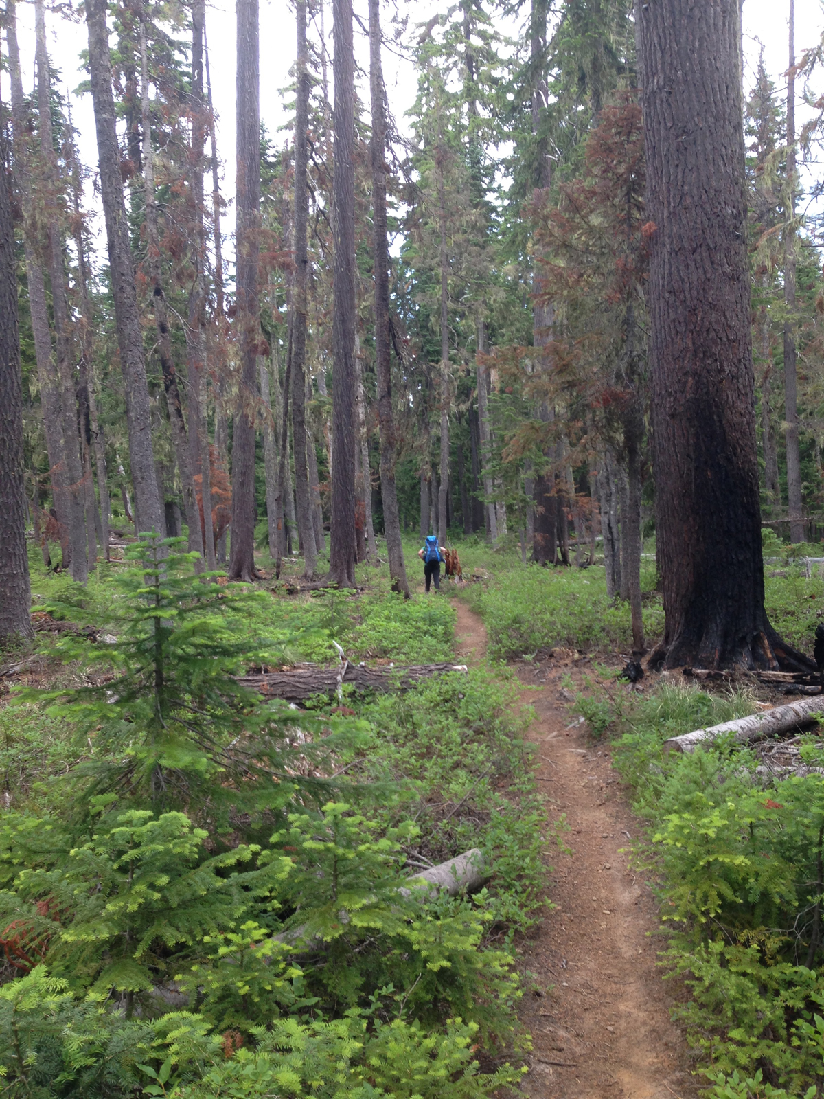 The western trail has a number of places where the forest looks like it had a close encounter with a forest fire; note the scoring on the tree at the right.
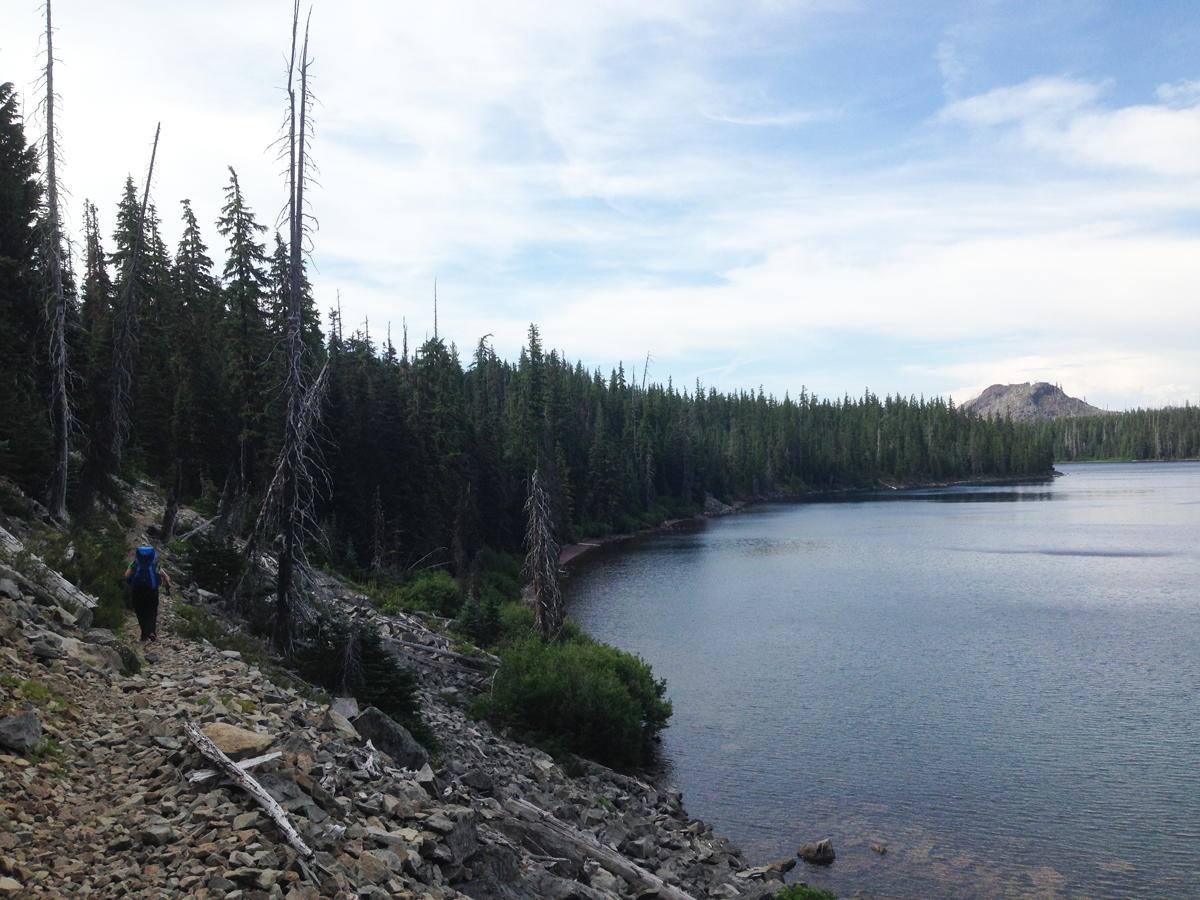 Mile 10. Continuing north. Seen in the right on the image, about 2-miles away is a scarred hilltop within the burn zone.
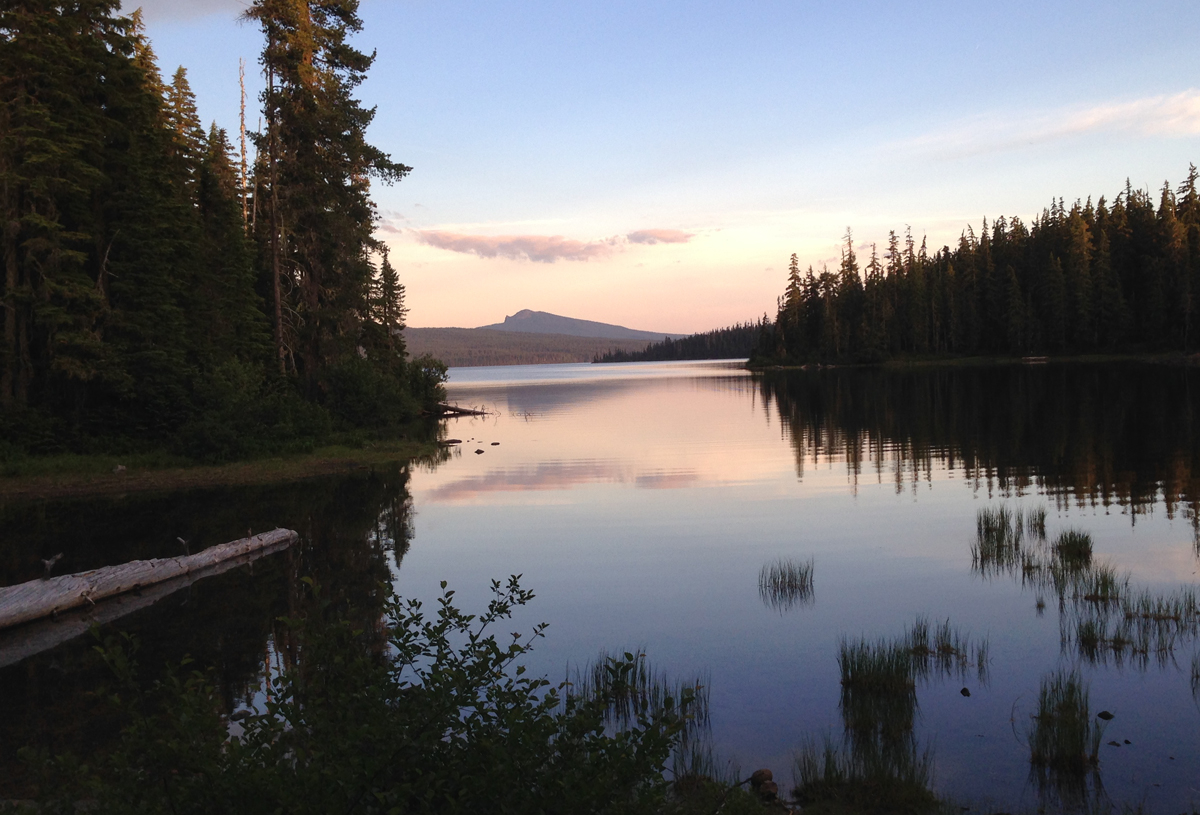 We spied several campsites peppered along the western shore of the lake, but as we reached the northern shore we discovered a favorite spot was vacant. As evening approached we appreciated a gentle breeze that chased most of the mosquitoes away.
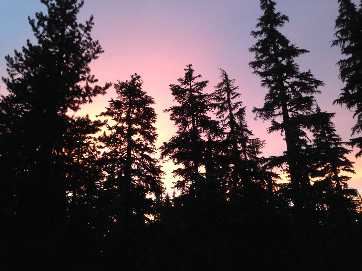 Enjoying a gorgeous sunset. The sky was clear that night when the stars came out they were so bright you could almost touch them.
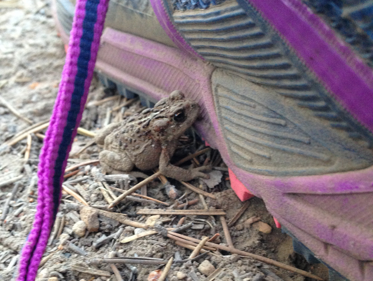 A very small toad had made its home just outside our tent during the night. It was discovered in the morning hiding next to one of our shoes.
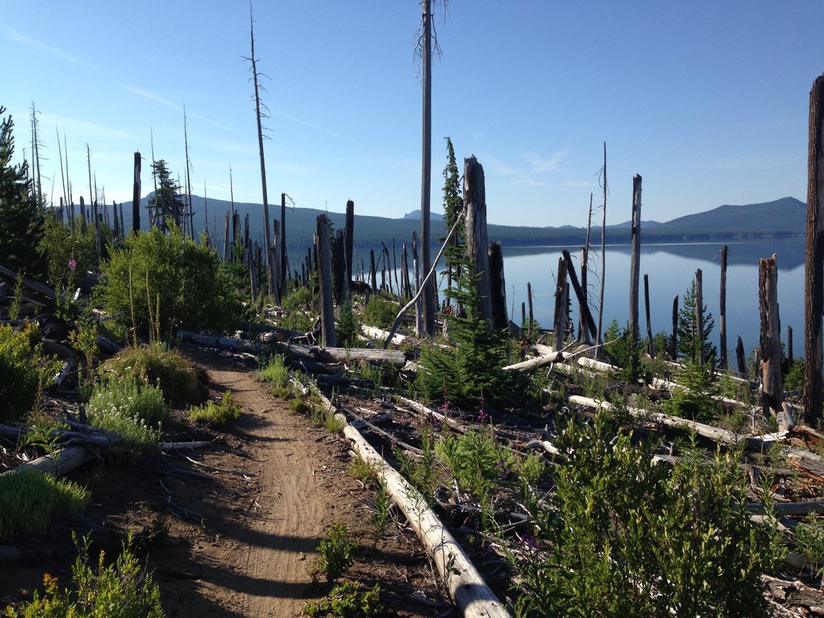 Roughly Mile 12. Heading east, the trail meanders through the burn zone along the north shore. This day was going to be hot so we tried to cross before the sun rose too high in the sky. Several weeks earlier, during a scamper through the burn zone, we crossed this section and encountered numerous trees that had fallen across the trail, these had since been removed – thank you Forest Service!
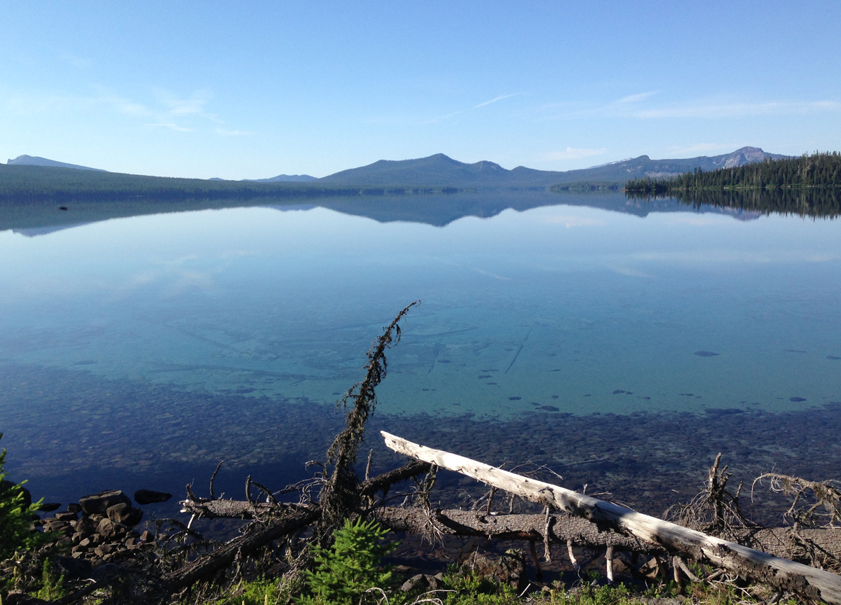 Mile 13-ish. Standing on the north shore looking across to the southern shore. The morning was calm, it was difficult to tell where the sky ended and the lake began. Determining the depth of the logs seen the water was difficult, but if the terrain continued its steep angle into the water, these logs were at least 40 feet deep in the foreground and 60+ feet deep further out.
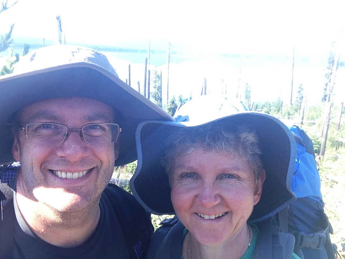 A Couple Selfie taken on the trail within the burn zone.
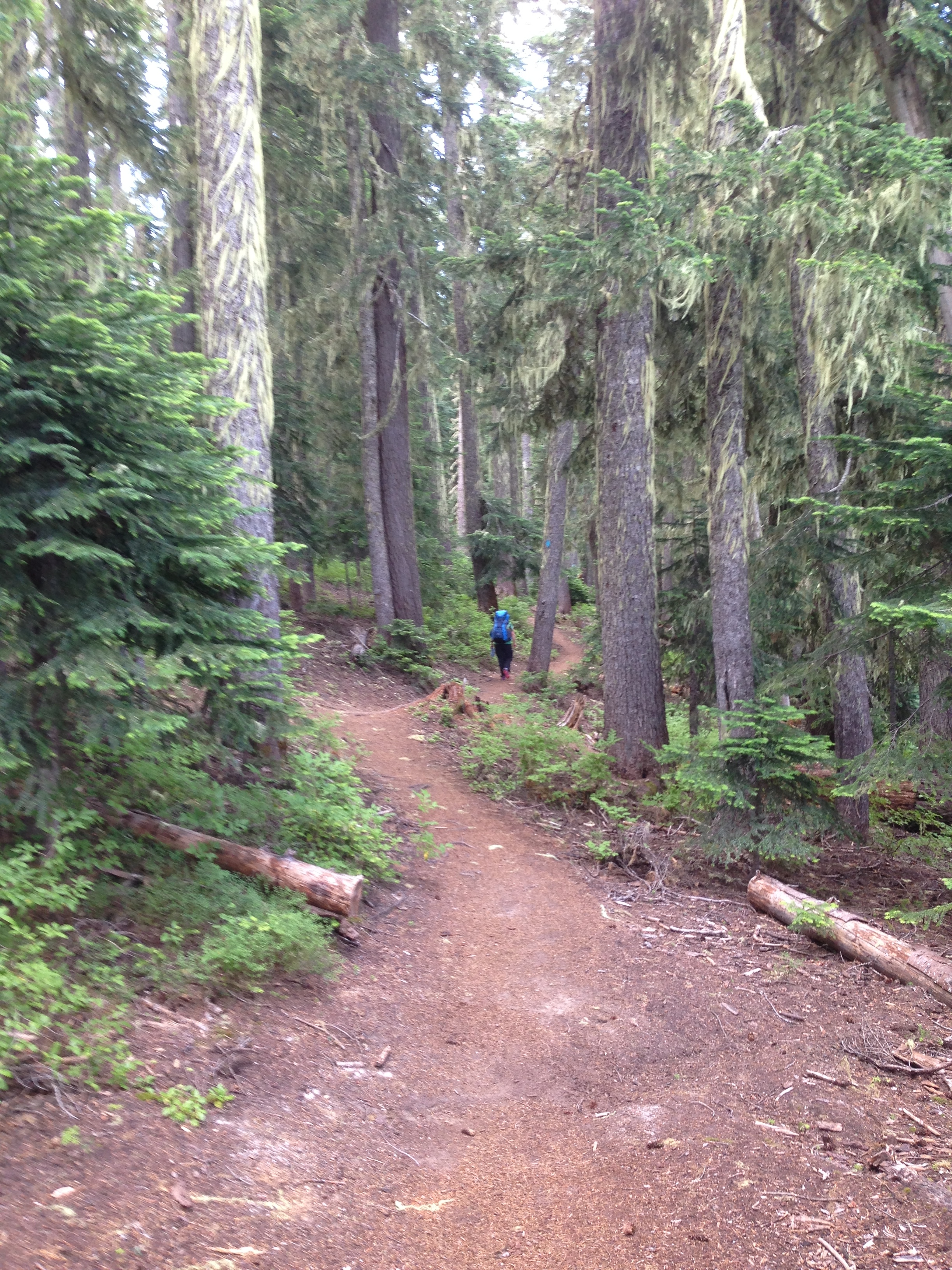 We’re out of the burn zone and heading south along the eastern edge of the lake. Half of the trail around Waldo Lake is in the woods, with only brief glimpses of the water. Be prepared to see lots of trees.
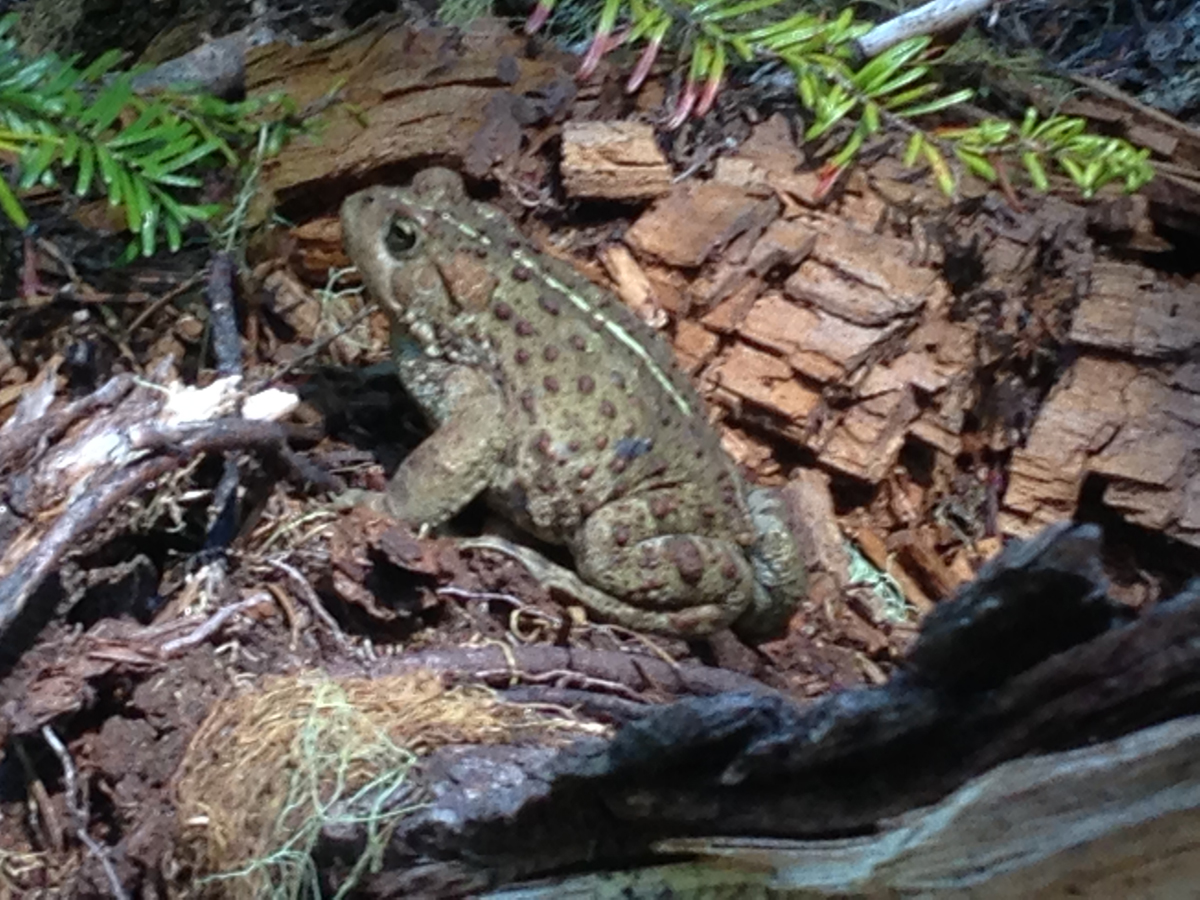 Just as we neared the south shore a massive toad was seen at the edge of the trail eating mosquitoes. During the entire trip, mosquitoes were not a big issue, though the last several miles of the trail we were devoured by these little flying beasts! I was glad to see this toad!
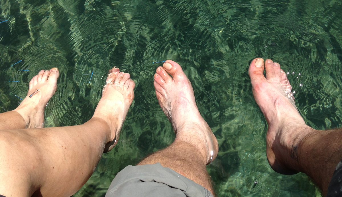 Mile 20.2. The best part of finishing the loop trail around Waldo Lake is that you can dip your feet into the lake’s cold and clean water.
We arrived back at the car the next day. Except for people we saw in the campgrounds, we only saw 6 people on the trail.
